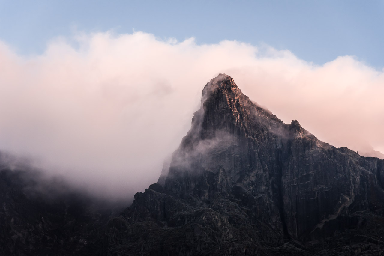
Mt Stanley with its highest peak, Margherita peak (5109 m)
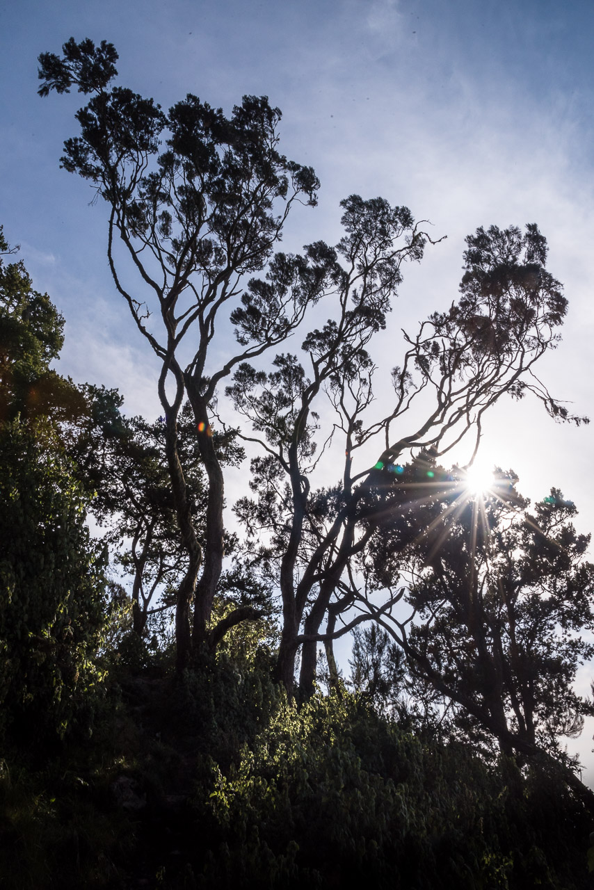
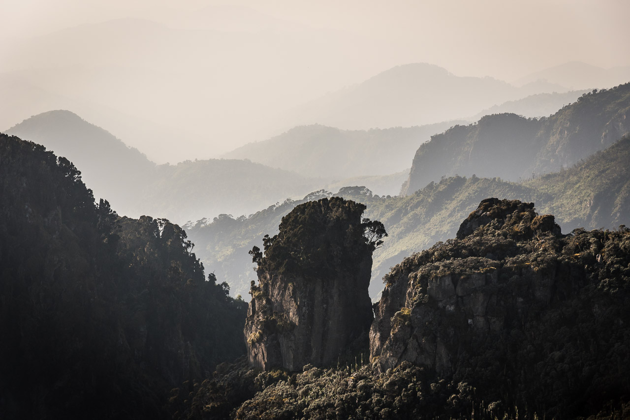
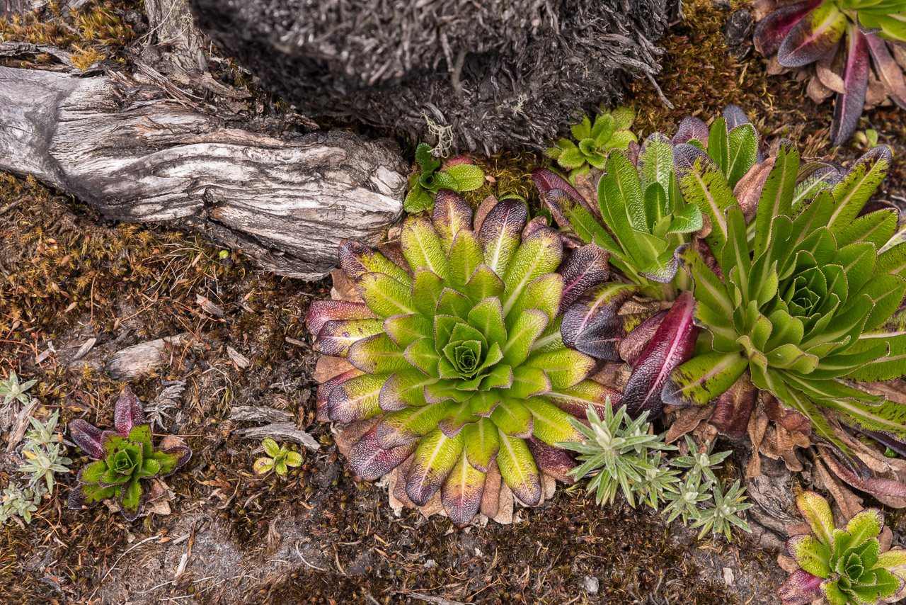
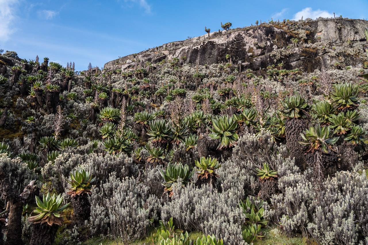
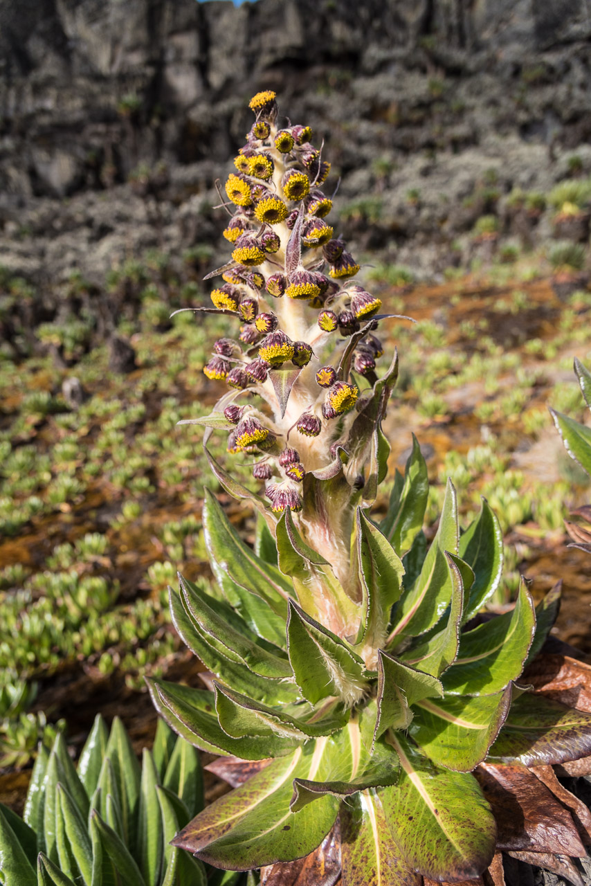
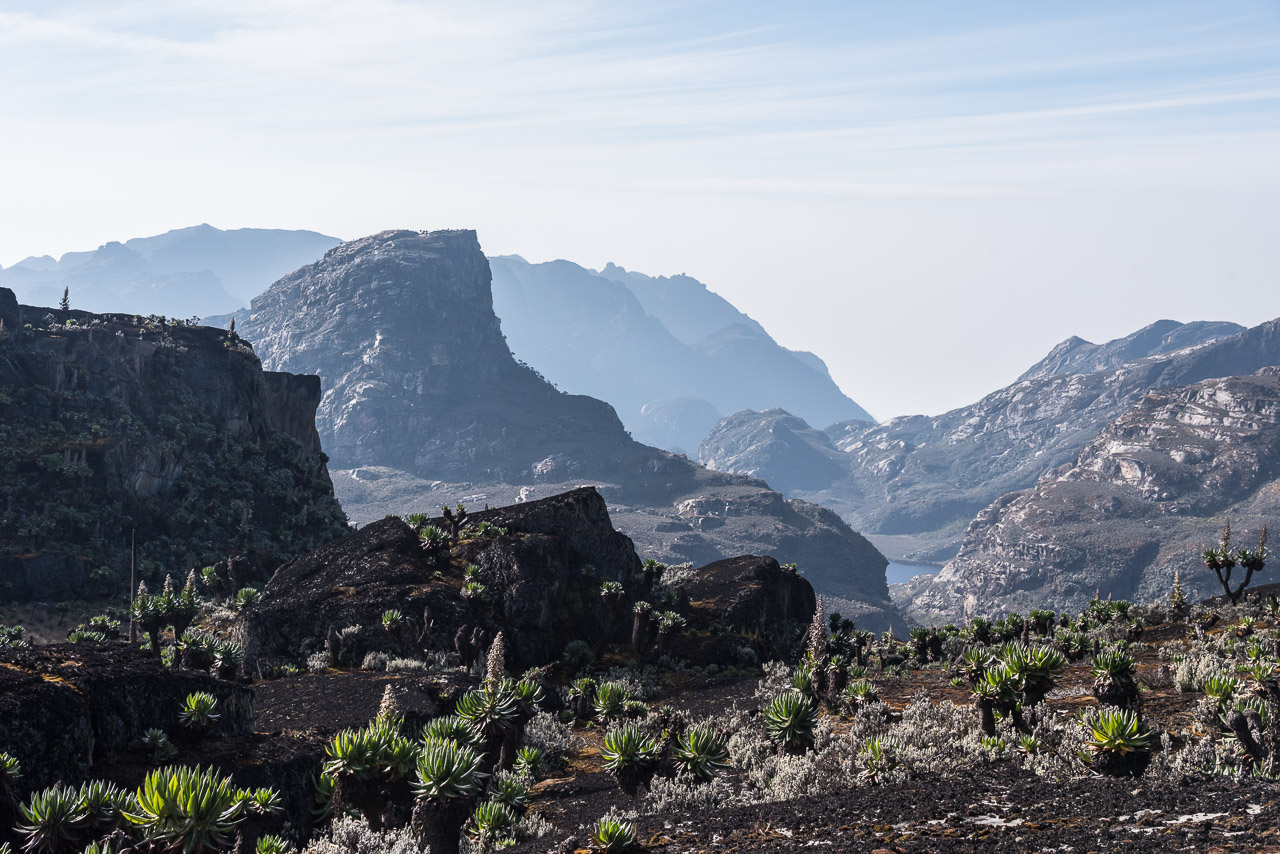
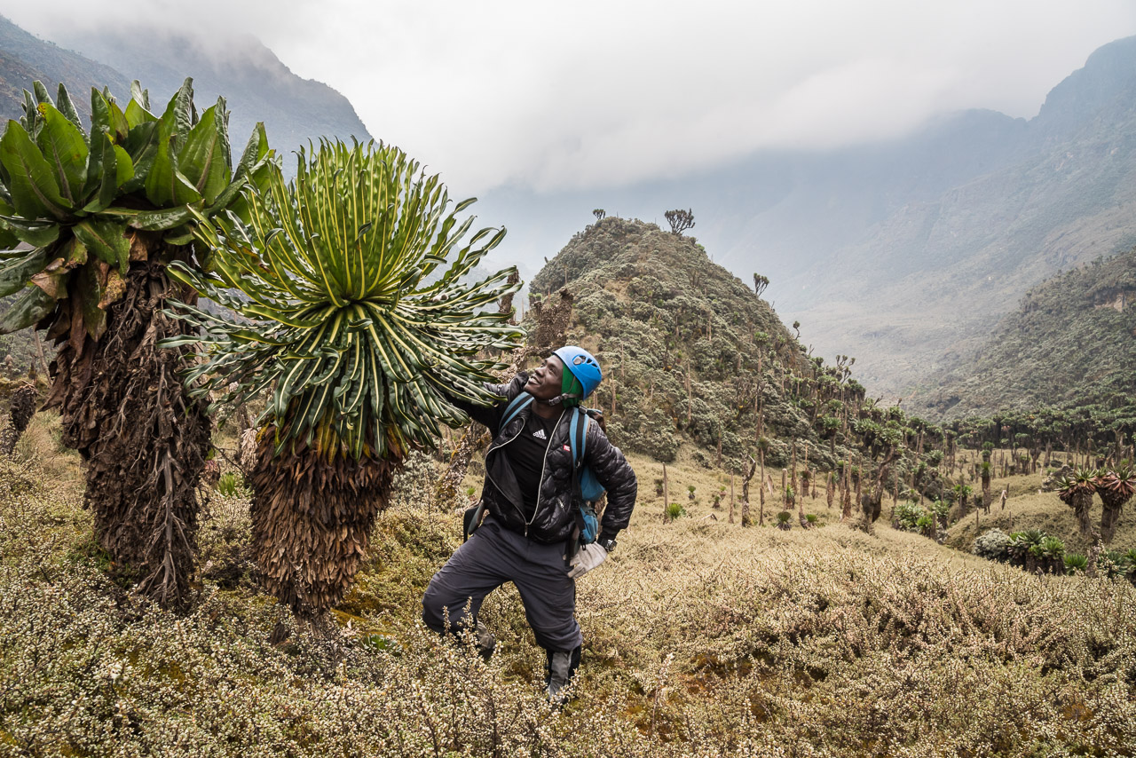
The Rwenzori mountains are remarkable in many ways. Even though they are just 40 km North of the Equator, the peaks are high enough to support numerous glaciers. Lower altitudes are covered by unique flora that could withstand huge amounts of rain (up to 2500 mm per year), sub-zero temperatures at night and strong sunlight during the day. The foothills are covered by tropical rain forest. In total, there are five different vegetation zones across the mountain range.
In ancient times, the Rwenzori mountain range was probably assumed to be the source of the Nile river. In his map, Ptolemy marked a mountain range named „Mountains of the Moon“ located close to a series of large lakes. However, the Rwenzori, meaning literally „rainmaker“ in the language of the Bukonjo tribe living in the region, remained a mystery for Europeans until an expedition led by Henry Morton Stanley finally „discovered“ the mountain range in 1888. In the end, lake Victoria turned out to be the source of the White Nile, but glaciers of Mt Stanley feed Bujuku river that flows into the White Nile and constitutes one of its main sources.
Compared to other African mountains, the Rwenzoris see few visitors. During my nine day trek, only around 15 people crossed my way, not counting the guides and porters. One of the reasons is the troublesome history of the region. Since 1996, the Ugandan rebel group ADF used the mountain range as a base for their insurgency against the Ugandan government. Driven out of the country by the Ugandan army, the ADF continued to operate on the Congolese side of the Rwenzori with sporadic attacks in Uganda. In 2002, the Ugandan government re-opened the Rwenzori mountains for trekking and mountaineering. The difficult, steep trails, famous for their knee-deep mud are another deterrent to tourists. Furthermore, the peaks require basic climbing skills and glacier equipment.
Today, there are two companies offering trekking and climbing in the Rwenzori mountains, RMS and RTS. I’ve chosen the latter, as they have a better reputation regarding the training of their guides, quality of equipment and food. In addition, the trails and huts operated by RTS allow a better acclimatisation for the climb to the 5109 m high Margherita Peak. I was satisfied with the services provided by RTS and would further recommend them.
Day 1
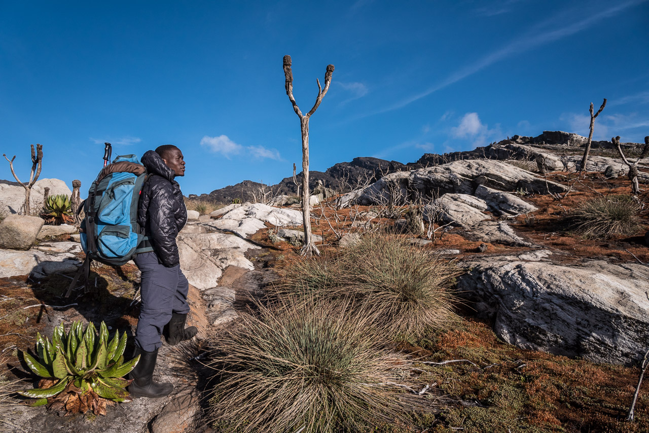
Seeing the size of my backpack, my guides suggested that a porter should take it, but I insisted to carry it myself. Anyway, the porters would carry the food for the next nine days! Being often covered by clouds and otherwise hidden in the haze of the tropical climate, one must be very lucky to see the snow and ice covered peaks from outside of the national park, even though many hotels and restaurants advertise their beautiful view on the mountain range. Nevertheless, I was quite impressed by the almost 4000 m high towering foothills of the mountain range that I saw during sunrise from Kasese. The trek started in the mining village of Kilembe where a copper mine that used to employ most villagers is located. However, the mine has been inoperative since one year due to a dispute between the Ugandan government and a Chinese mining company. No wonder that there was a crowd of young men and women waiting at the gate to the RTS office in the hope for getting hired as porters or workers maintaining the network of trails that run through the Rwenzori and start from Kilembe.
The hike of the first day was neither long, nor steep. However, I couldn’t remember sweating that much in my life, with the exception of being in a sauna. The hike with 1200 m elevation gain through the rain forest with 23 kg on my back and humidity close to 100%, took its toll. A little waterfall near the hut on 2598 m was the perfect refreshment at the end of the hike, even though the water temperature was only slightly above zero. I was alone in the wooden hut with ten bunk beds. My two guides, Jack and Joshua, slept in a less cozy shack made of corrugated iron. I had two guides for safety reasons. The final ascent to Margherita Peak on day six will take us over two glaciers furrowed by crevasses. As most clients have no experience in crevasse rescue, a second guide is required to ensure safety in case one guide falls into a crevasse. I did not expect to be accompanied by 8 (!) porters, even though I carried all my equipment as well as water and food for one day. The porters had to carry food for nine days as well as a tent and the climbing gear for the guides and me. And regarding food, they carried not only simple and light packed food, but also tasty options including fresh fruits and vegetables.
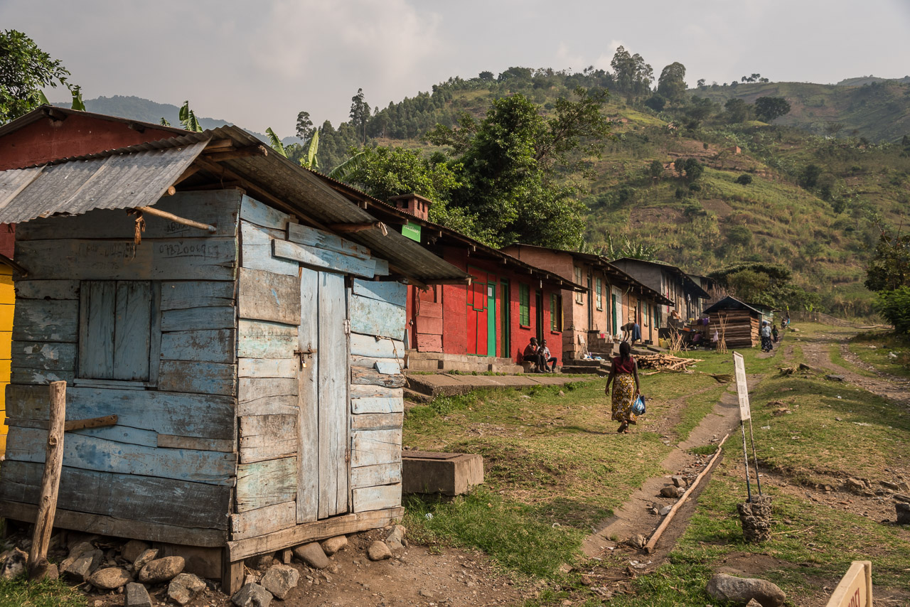
The trek starts in the village of Kilembe
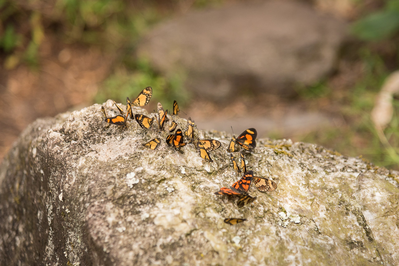
I was welcomed by butterflies sitting on a rock near the national park office
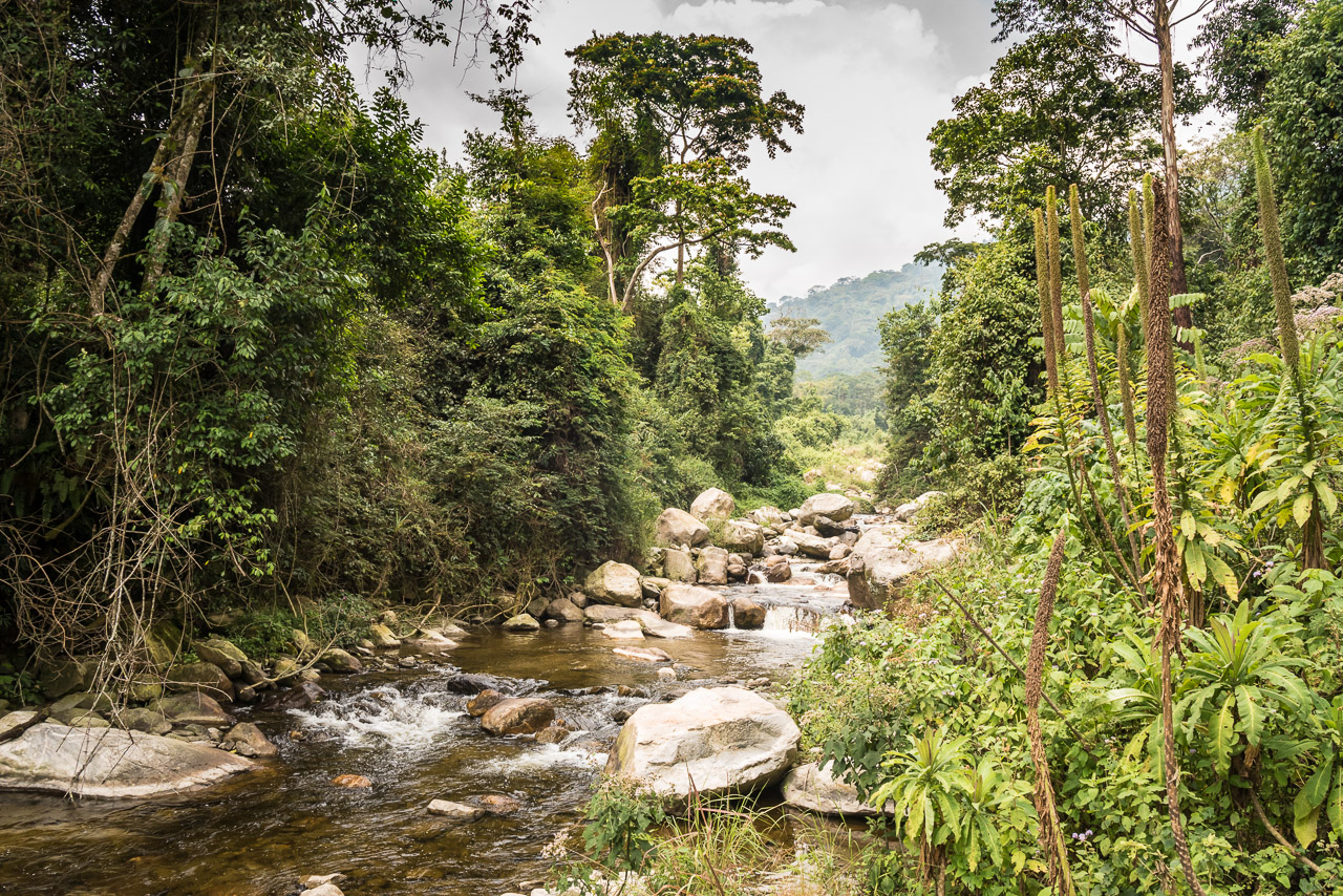
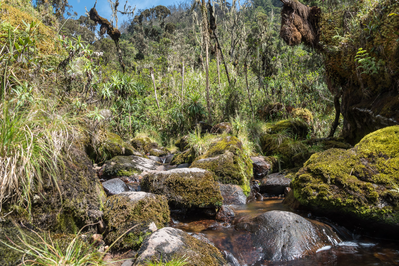
Low water in the creek is a sign that dry season in Uganda is in full swing at the end of January
I can still feel the humidity when I look at this picture 😉
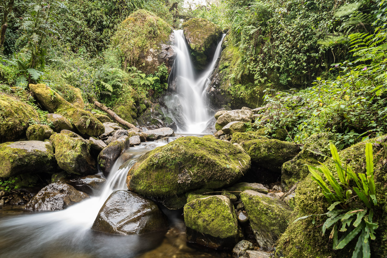
The best refreshment after a sweaty hike
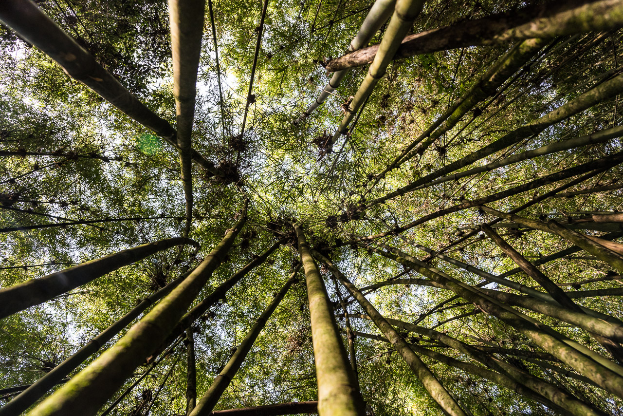
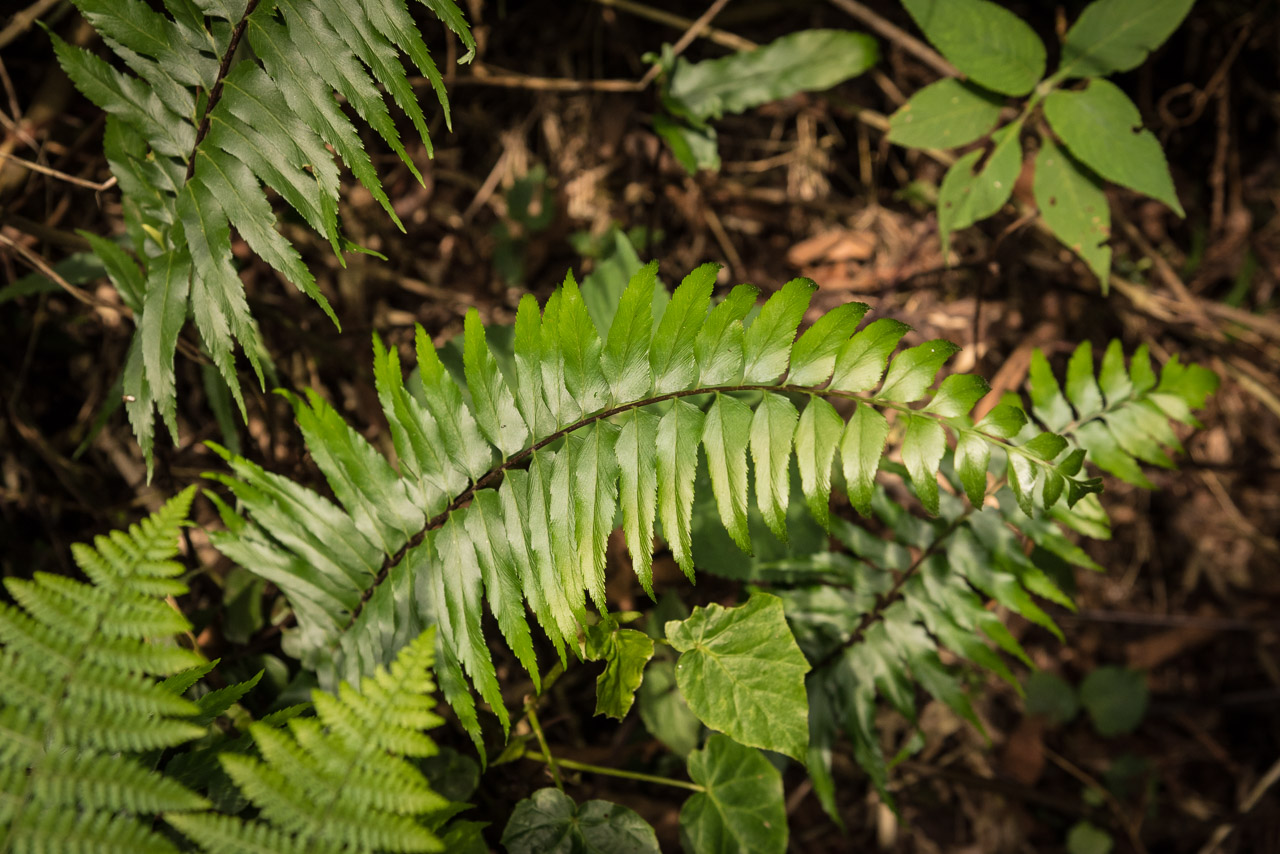
In the bamboo zone
One of the numerous creeks along the trek
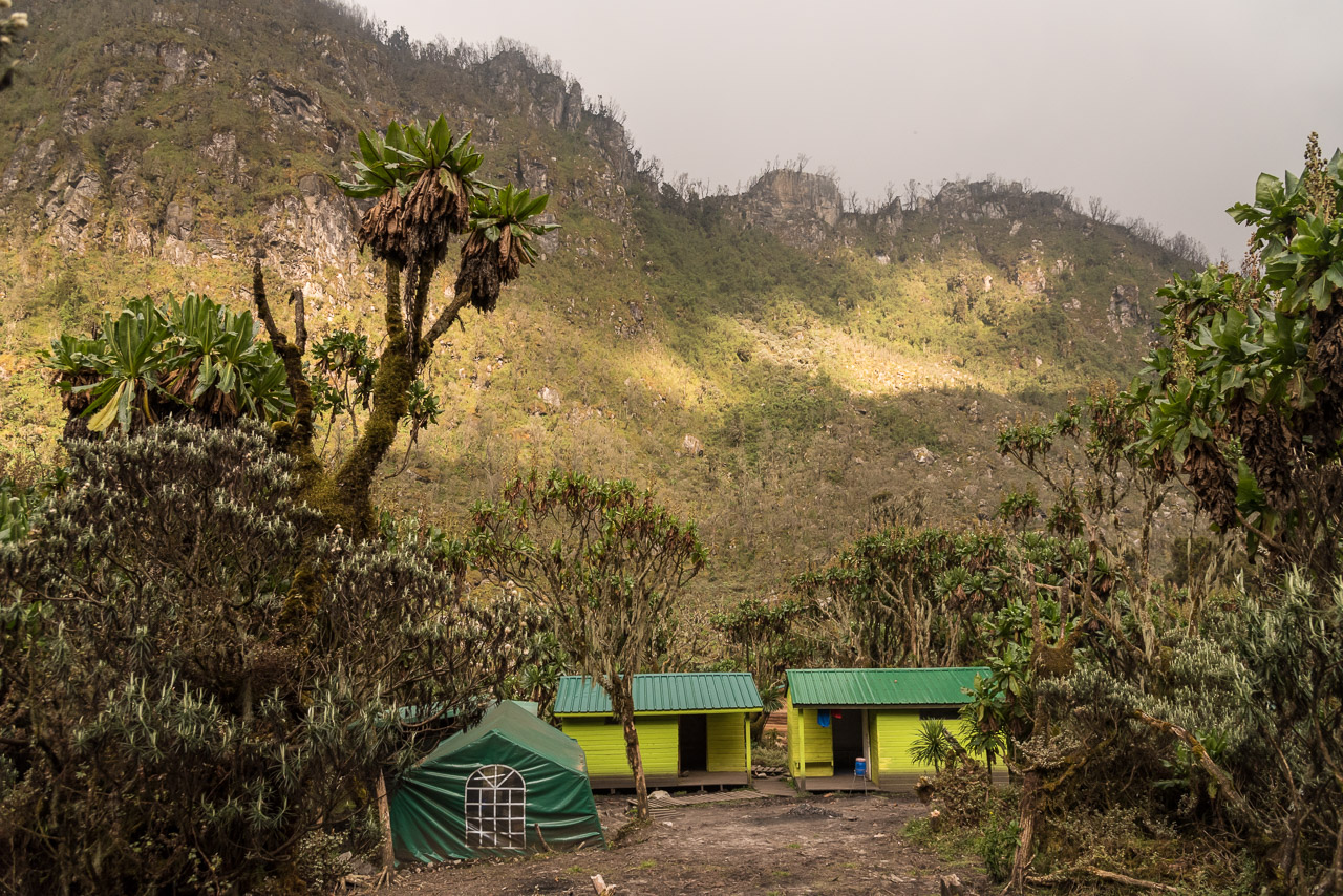
The two huts of Mutinda camp
Impressive rocks overlook the camp
Day 2
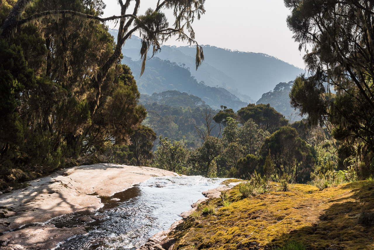
After breakfast galore that I wasn’t able to finish (my guides overestimated my performance after I told them that I’m eating a bit more than average) we continued the trek soon reaching the bamboo zone. Within a few meters of elevation, the diverse rain forest turns into an exclusive bamboo forest. After reaching the altitude of 3000 m, bamboo turned quickly into so called heather zone with bushes and gnarled trees covered with lichen. Even though Jack and I started with a considerable lead, we were overtaken by the porters which made me think that their simple rubber boots were seven-league boots 😉 In the afternoon the sun hid behind the clouds and when we reached the hut on 3588 m, the whole valley got covered in mist. I expected heavy rains, but instead, the sky cleared up again after sunset. Hot water for tea or coffee was awaited me every day when I reached the huts. I took my last bath for the next six days in a creek close to the hut. The water was ice-cold and the cold wind didn’t make getting out of the water pleasurable. All huts on the way had water sources nearby
The view from Mutinda lookout
Day 3
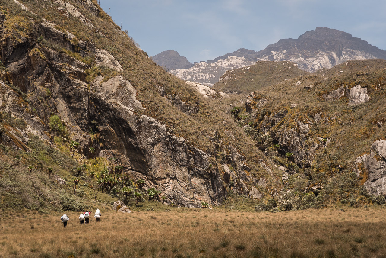
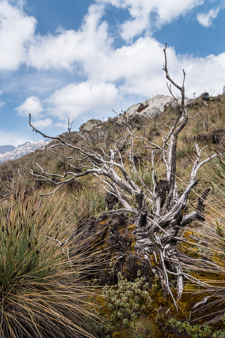
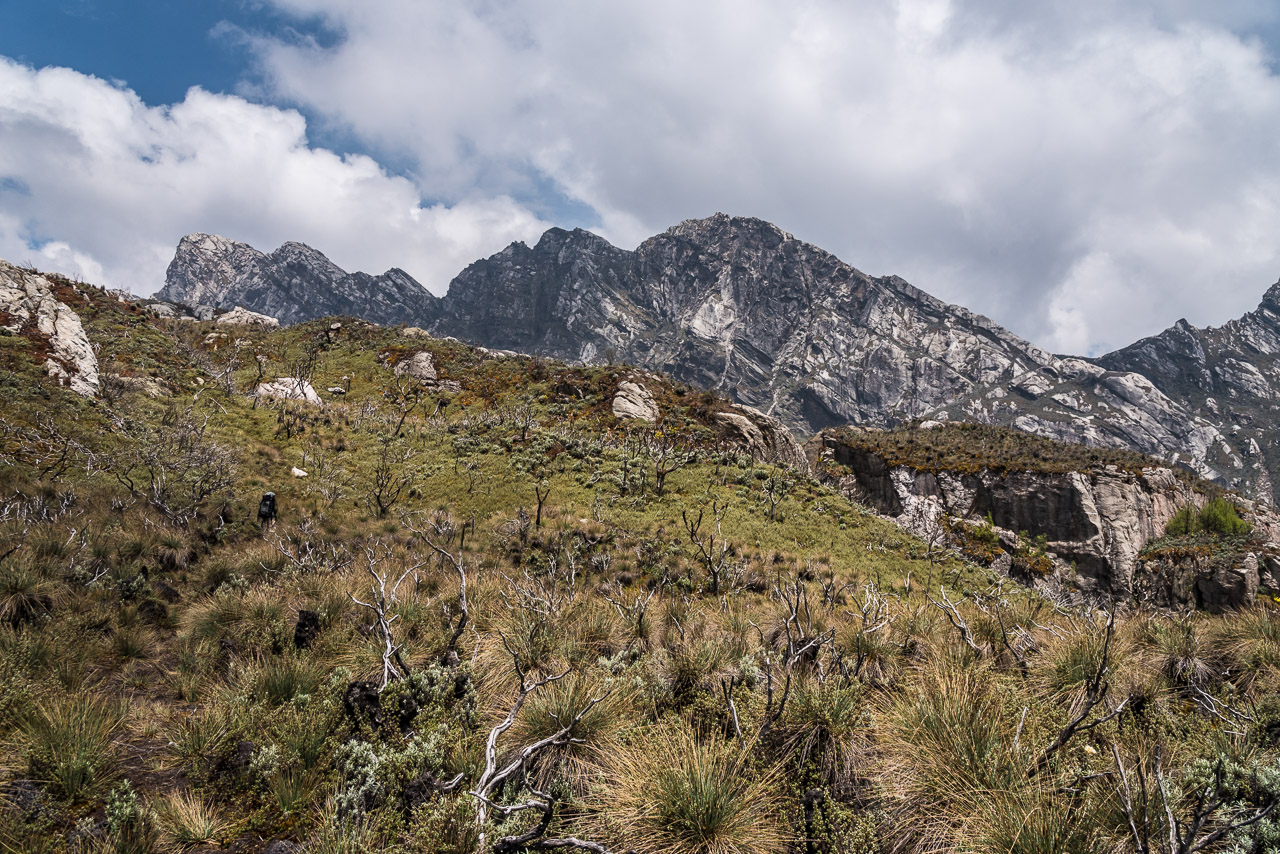
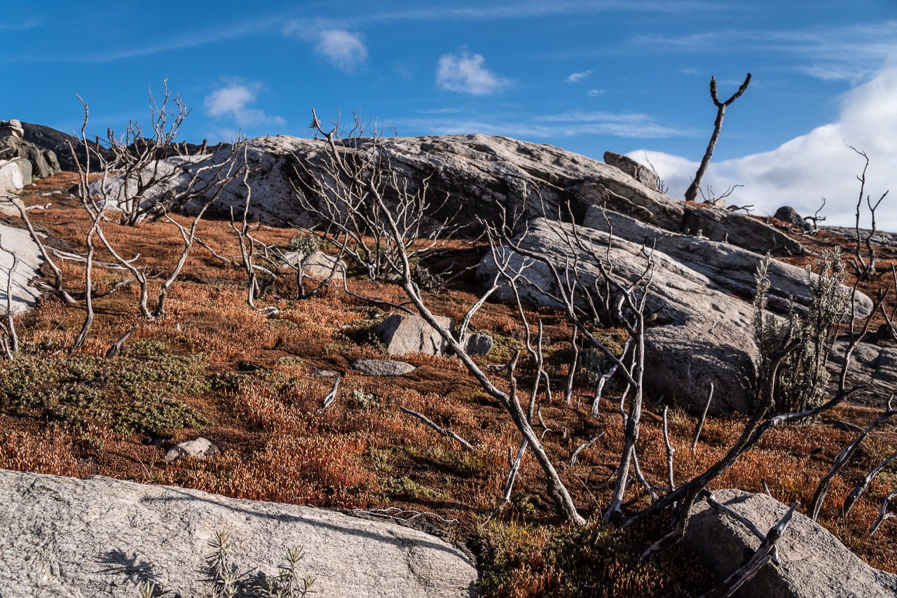
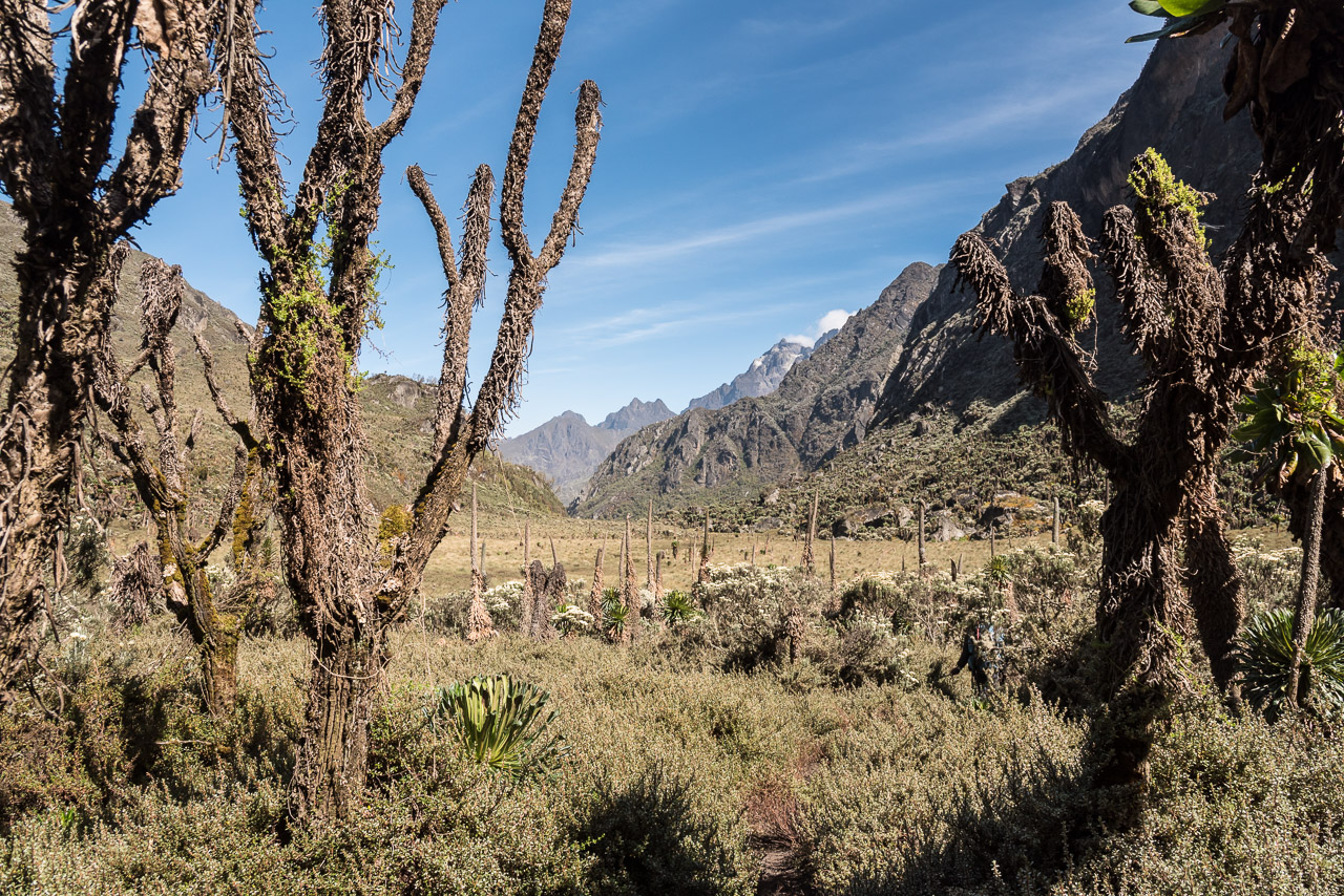
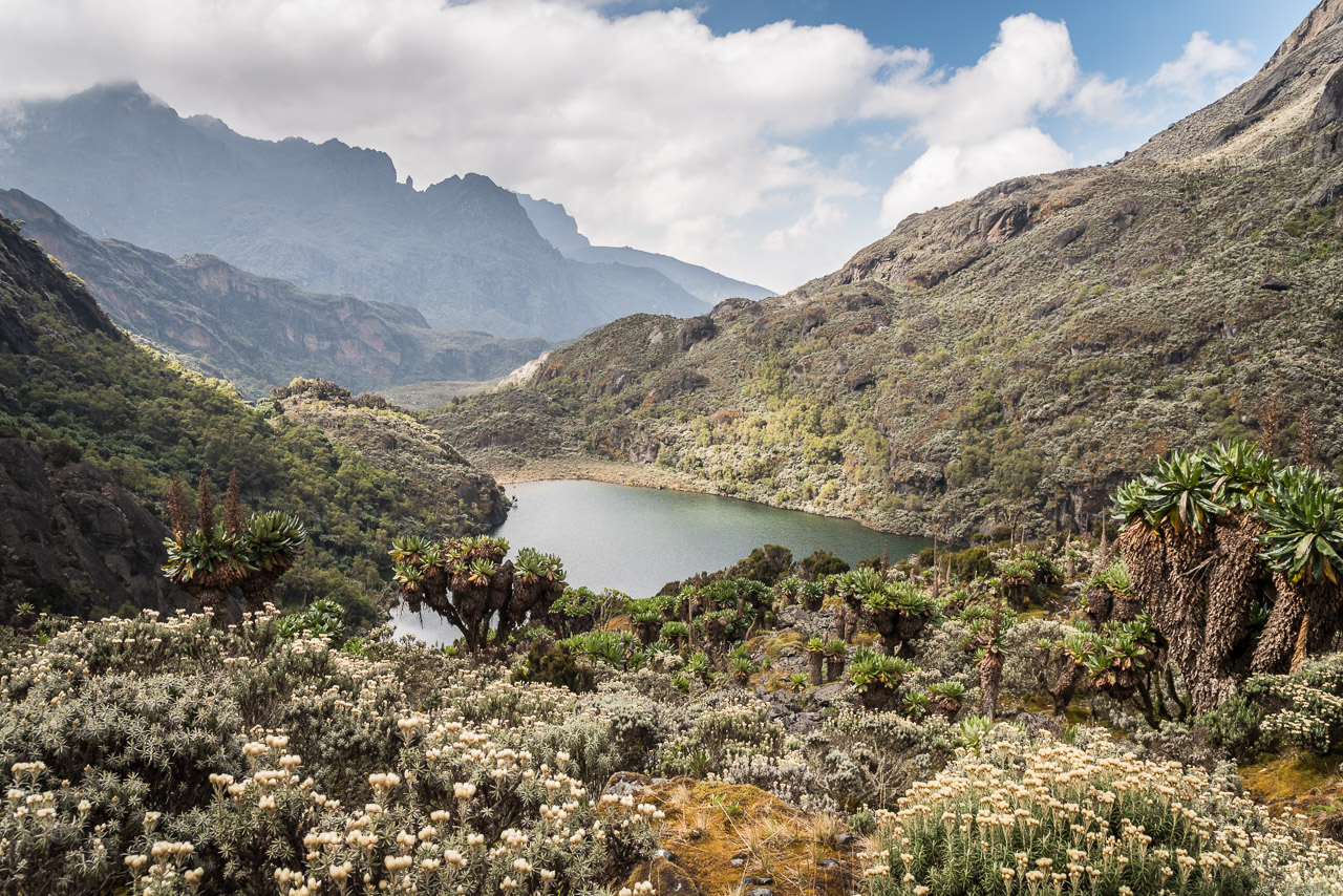
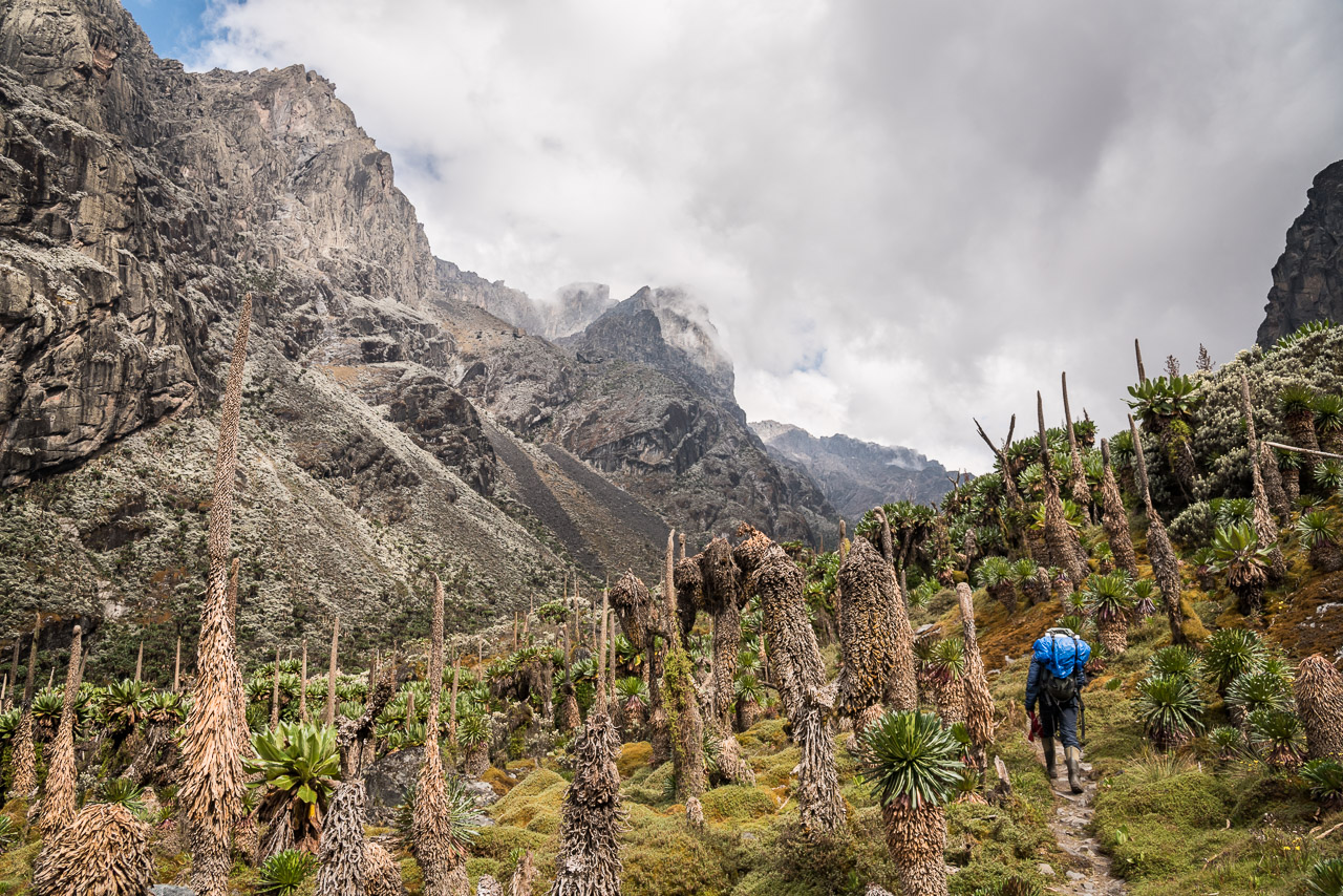
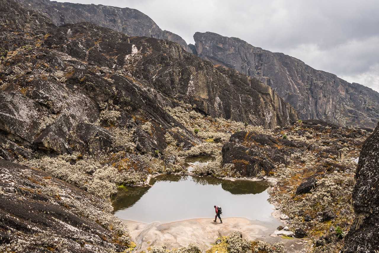
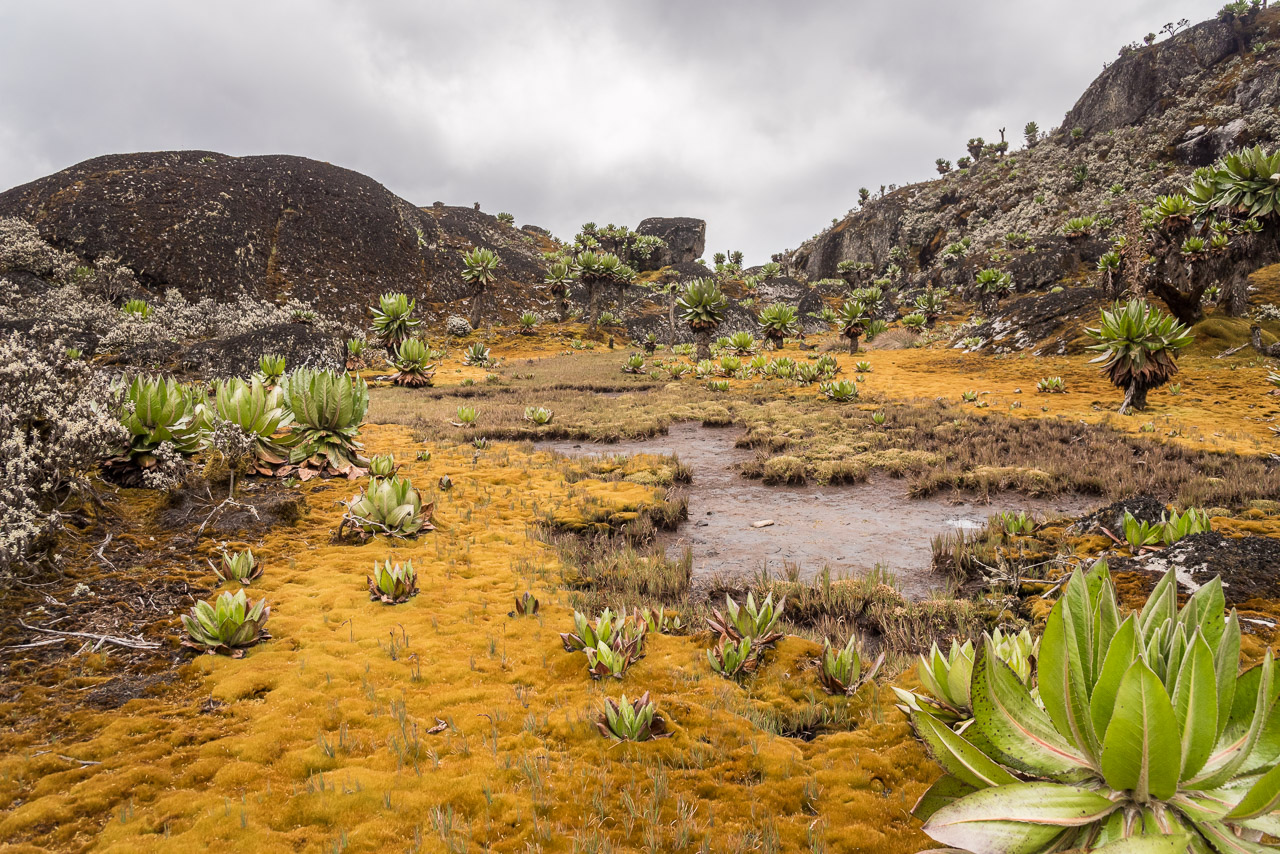
We started the day with a short detour on Mutinda lookout that misses a few meters to reach 4000 m, but is the last mountain offering a view down to the plains of Queen Elizabeth National Park and Kibale forest. After descending from the lookout we continued to the next hut which is located at an altitude of 4062 m above a series of lakes. Kilometer-long wooden planks were placed in locations where the trek crossed wetlands with fragile vegetation that would quickly turn into knee-deep mud. It must have cost a tremendous effort to bring all that wood up there. And in this climate, it certainly would not lasting long. During the second half of the way to camp three, I saw thousands of dead trees and giant groundsels. None of the big trees was alive. I was told by Joshua that in February 2012, at the end of the dry season, a huge fire raged in the area destroying most vegetation and one camp of RTS. He and 20 hikers were running up the mountains to save their life. A very strong wind was pushing the fire upwards and the fire moved with a speed of 8km/h. Luckily, everyone could escape and the fire finally stopped at an altitude of 4200 m, a few kilometers above where camp three is located today. The fire was probably set by poachers to drive their prey into a trap, but got out of control because of the strong wind and the unusual dry weather.
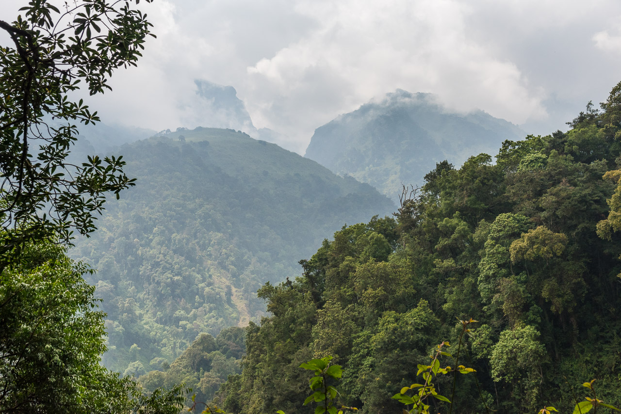
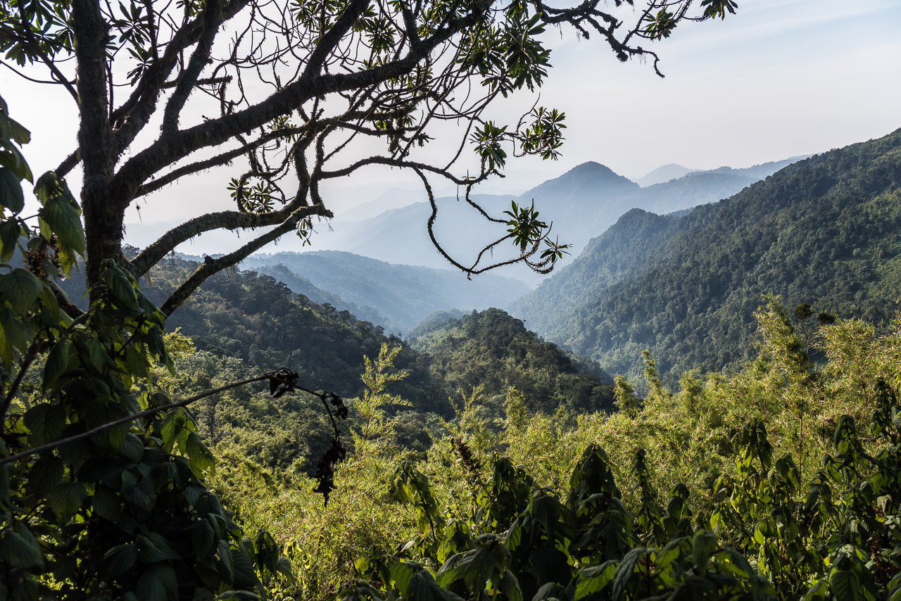
Looking back
One of the trees that didn’t survive the fire in February 2012
Compared to the surrounding, the land where fire raged in 2012 is barren
I enjoyed the view from my bed 🙂
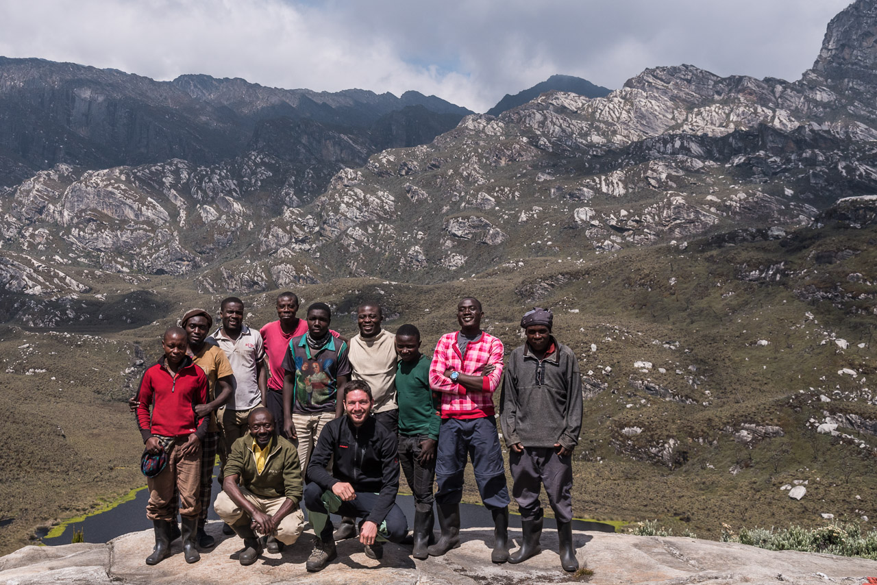
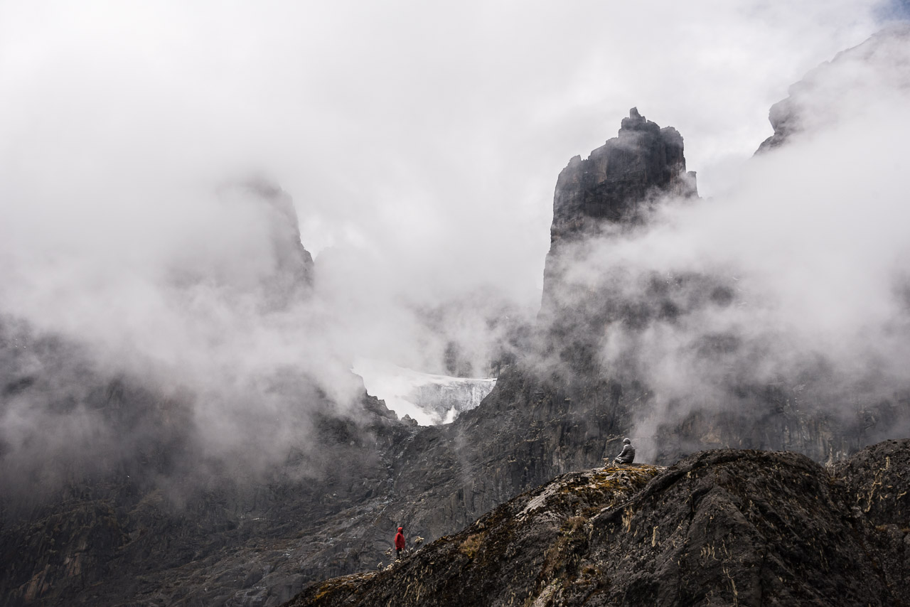
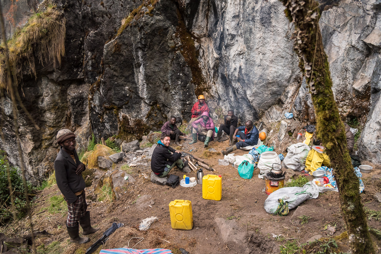
Two guides, eight porters and I
The trek continued through the area that was hit by the fire
Finally, we reached the area that has not been burnt down
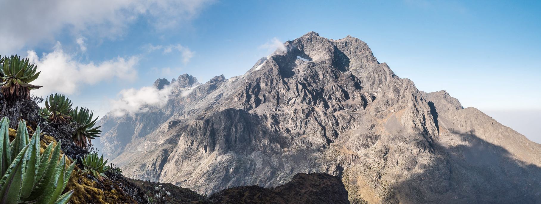
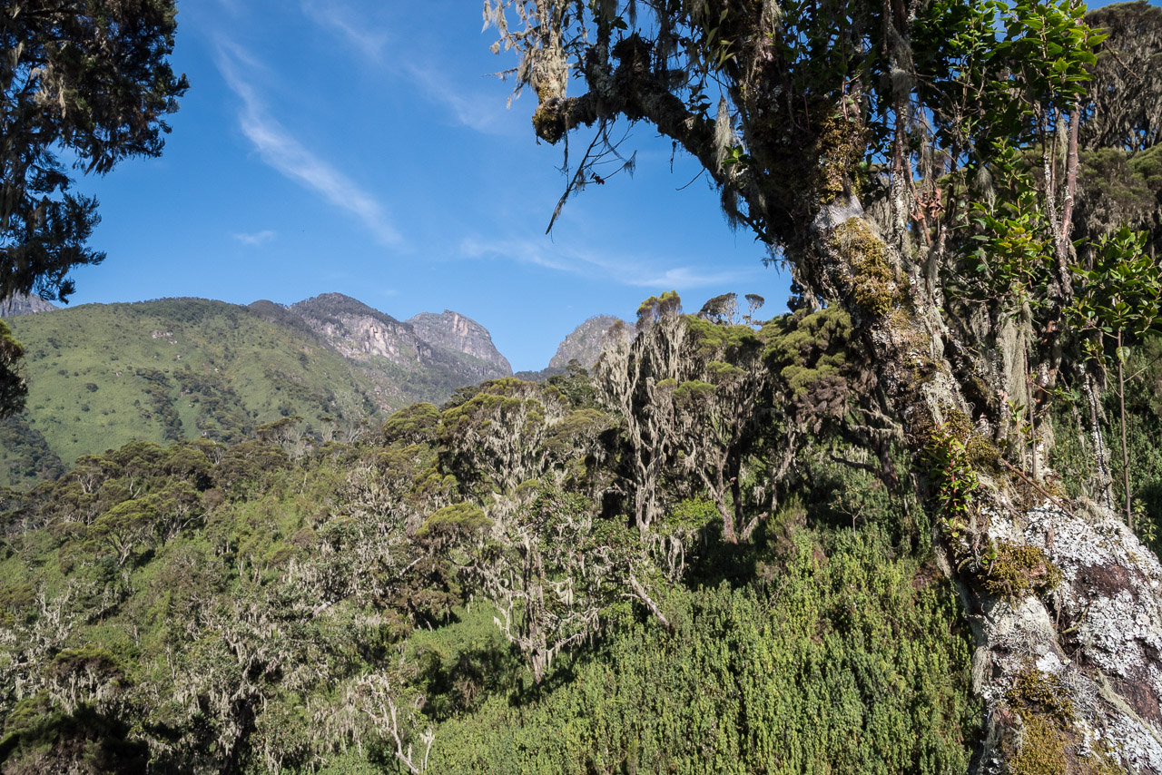
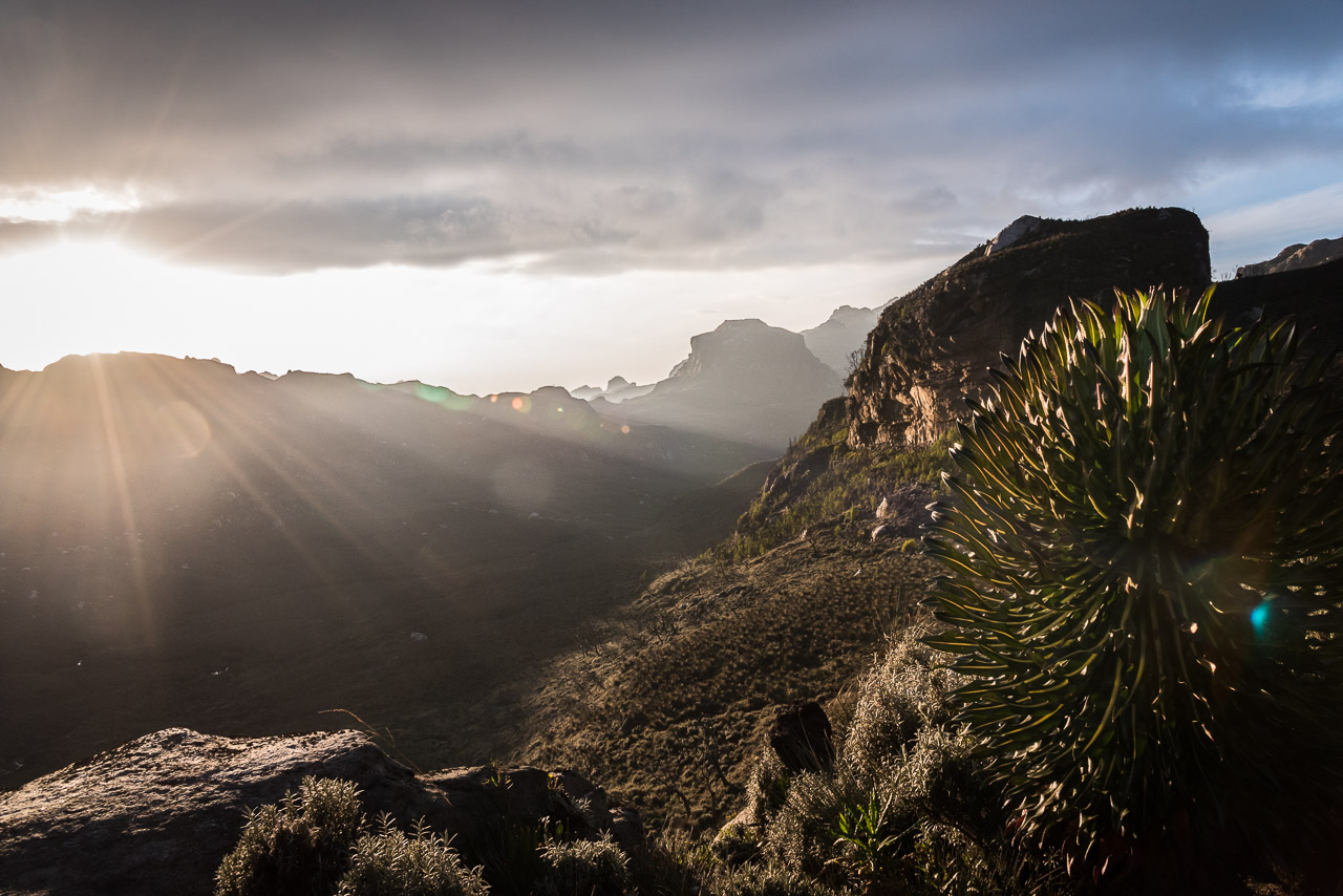
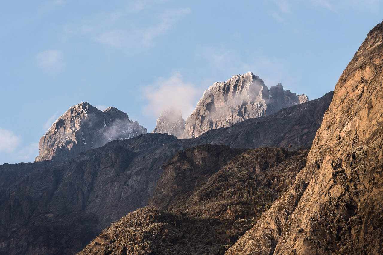
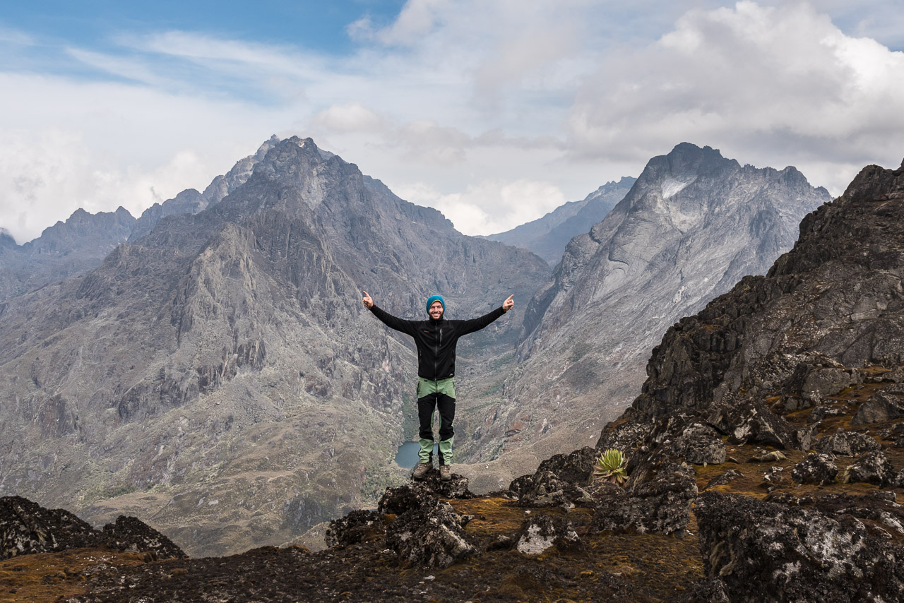
The Bamwanjara pass offers a great view on Mt Stanley, Mt Speke and Mt Baker (left to right)
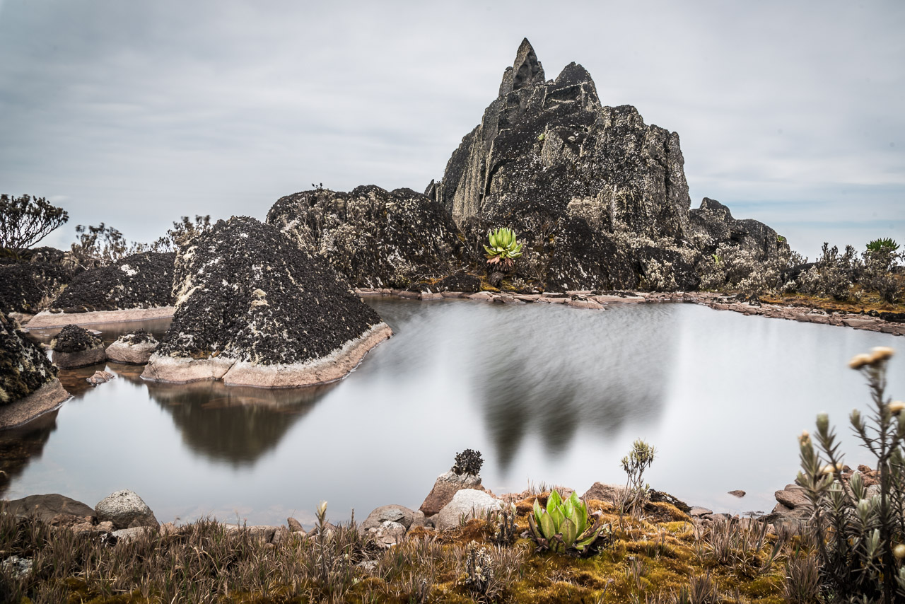
A nameless, but impressive peak of Mt Luigi di Savoia
Day 4
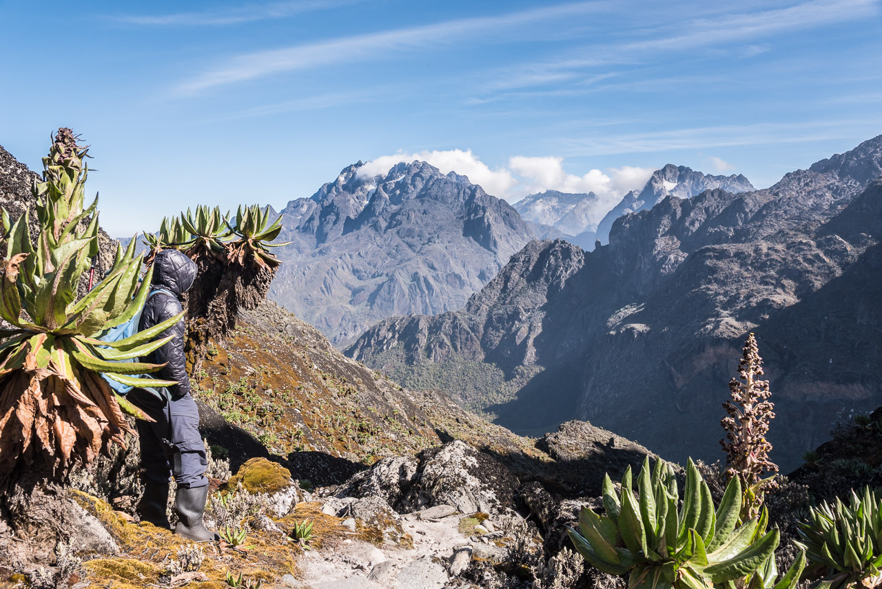
On my birthday, I woke up with a headache and nausea, the typical first signs of altitude sickness. At 4000 m, the barometric pressure and thereby the oxygen partial pressure are reduced to approx. 60% of the sea level value. In the short term puttygen , the body can compensate the lack of oxygen by a higher breathing rate, but needs a couple of days to react and adjust the automatic breathing rate to the lower oxygen level. By deliberately breathing deeper and at a higher rate, I was able to suppress the headache and nausea and felt fit enough to continue the trek to camp four which is located at a slightly lower altitude of 3974 m. However, Joshua was not convinced of my physical condition noting that I ate little for breakfast. He suggested that a porter should carry my backpack. Feeling much better, I threw his advice to the winds and hiked slowly up to the Bamwanjara pass. From there, I saw the highest peaks of the Rwenzori for the first time: I had a breathtaking view of Mt Stanley and Mt Baker with clouds flying over the glaciers below their peaks.
Two hours later, a group of six hikers with guides and porters arrived on their return from Mt Speke. It was the 8th day of their 10-day trip arranged by the Mountain Club Uganda and they were looking forward to finally getting home and having a warm shower.
Day 5
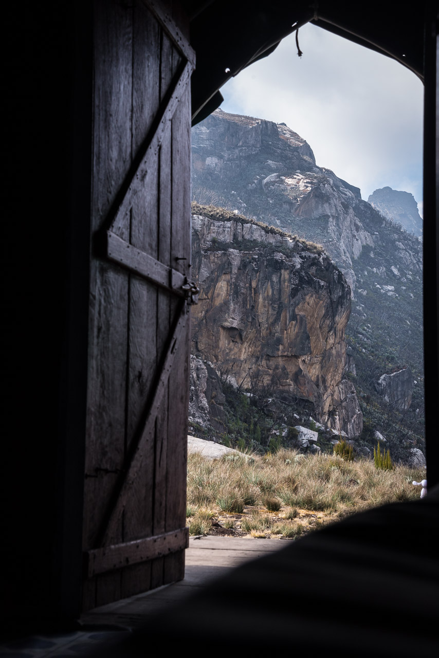
My lucky streak of sunny weather seemed to come to an end that cloudy morning. After passing the Kitendera lakes, we ran into a 79 year-old man from Switzerland who made an attempt on Margherita peak the day before, but turned around. He would have been the oldest person summiting Margherita peak. We took over the climbing and glacier equipment from the group and continued to Margherita camp on 4495 m. From time to time, the mist lifted and revealed beautiful peaks and Elena glacier which is a couple of hundred meters above the camp. It got quite cold in the community hut, but Christopher, one of the porters, lit the small oven making the room comfortably warm. However, when I went to sleep, I had to wear thick underwear and three jackets to feel comfortable in my down sleeping bag. I felt the cold and humid wind blowing through the hut.
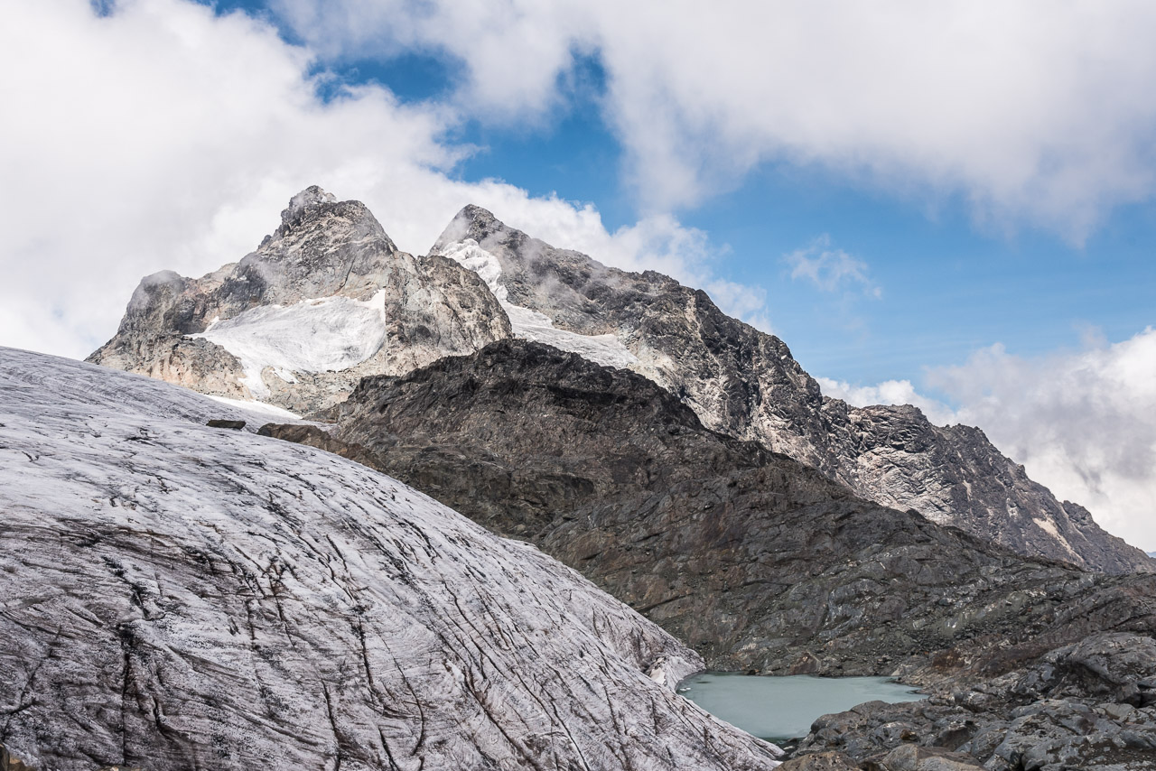
When you hike around Mt Stanley, the peak seems unreachable
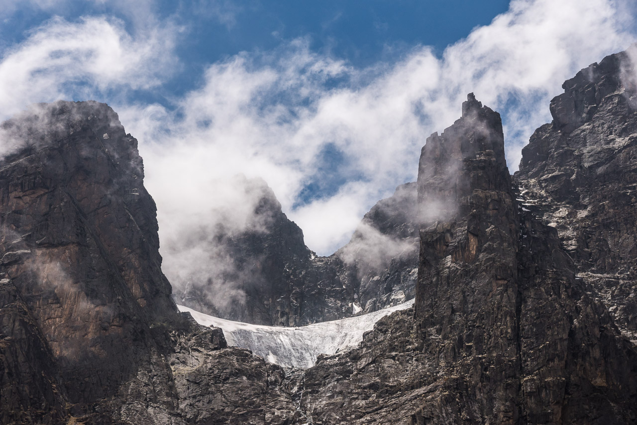
Elena glacier is visibile from the Margherita camp (the latter is on 4495 m)
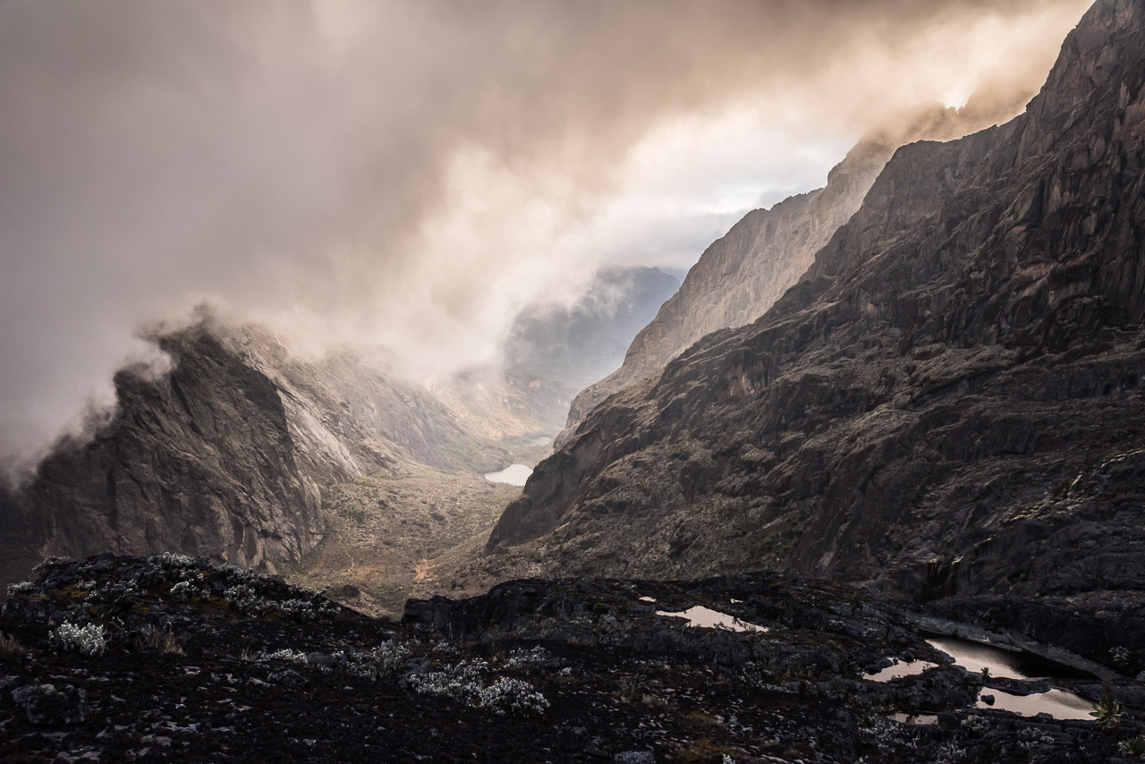
We passed by Kitendara lakes in the morning
Like all mountains in the Rwenzori range, Mt Speke likes to hide in clouds 😉
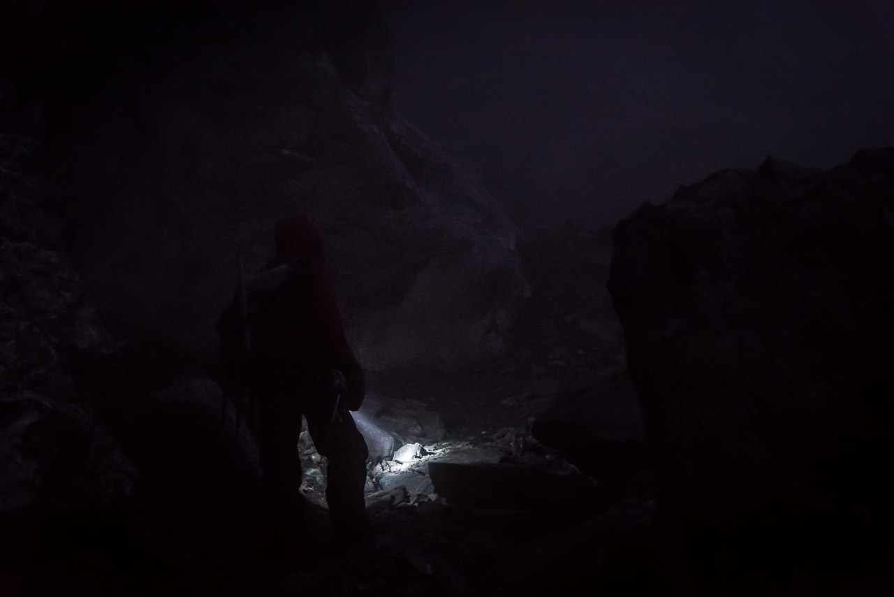
We began the climb onto Margherita Peak at 4:30am in thick mist
When we reached Margherita glacier, the climb got serious. A member of the other group, who used a different company, struggled in the steep part of the glacier, but was secured by the guides.
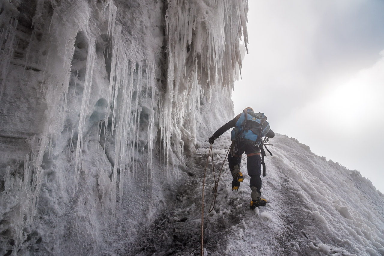
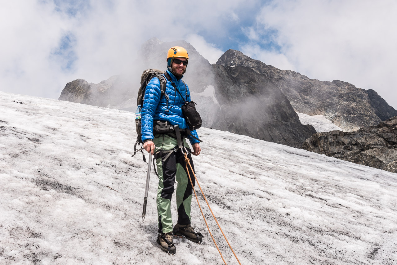
Well secured between Jack and Joshua

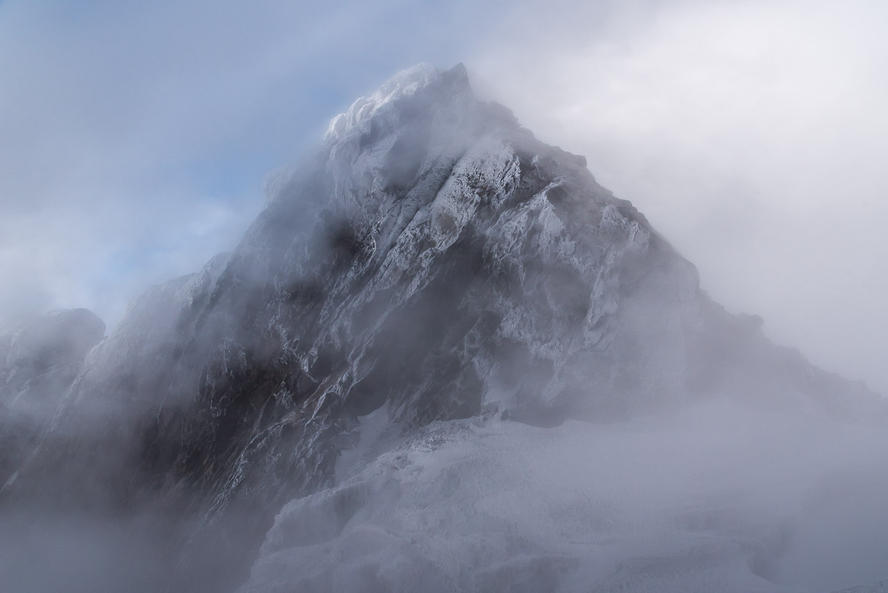
The mist lifted for a second revealing Alexandra peak (5091 m), the second highest peak of Mt Stanley
Below Margherita peak
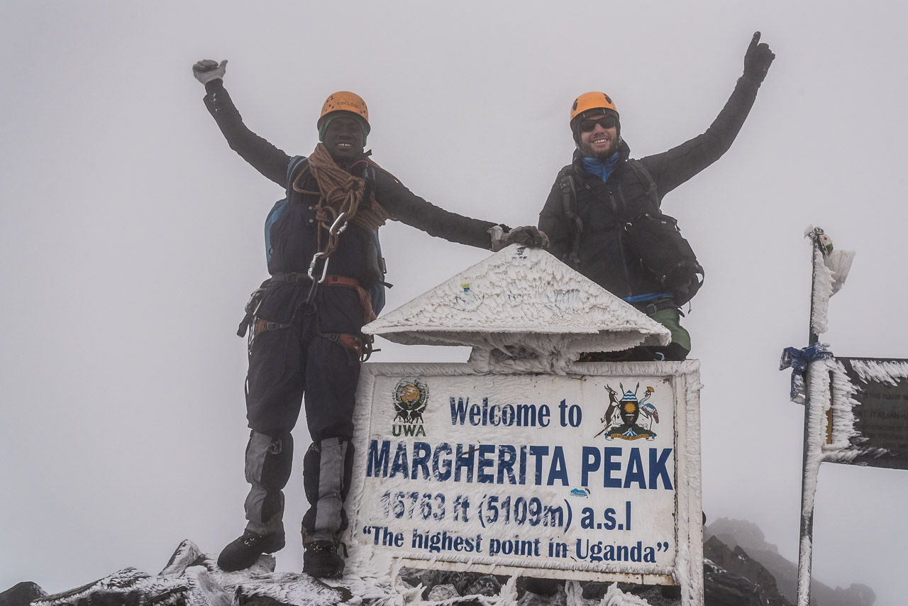
Made it! Wearing all the clothes I had 🙂
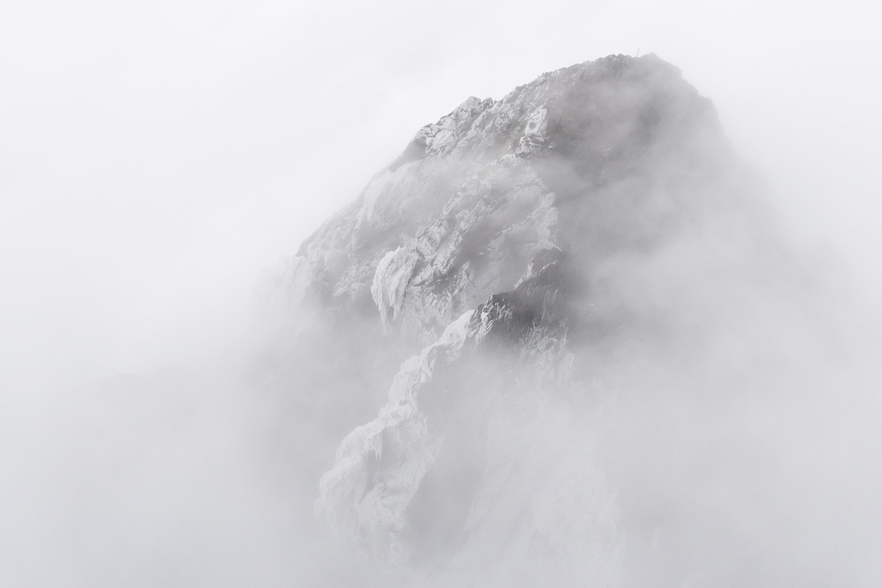
We waited one hour under harsh conditions and strong wind for a better view. This brief view of Alexandra peak was the only reward.
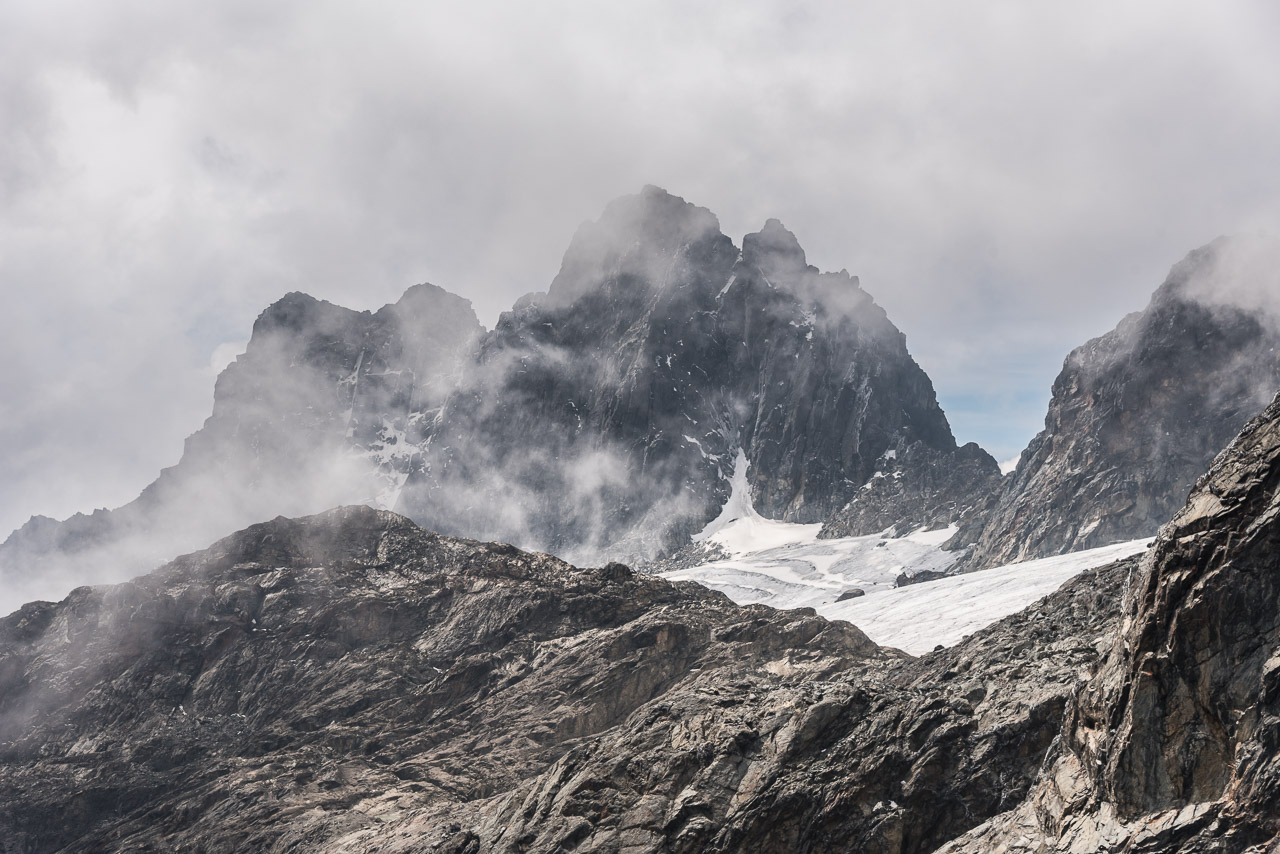
Luckily, on the way down the weather cleared up for one hour and I could see many peaks of Mt Stanely
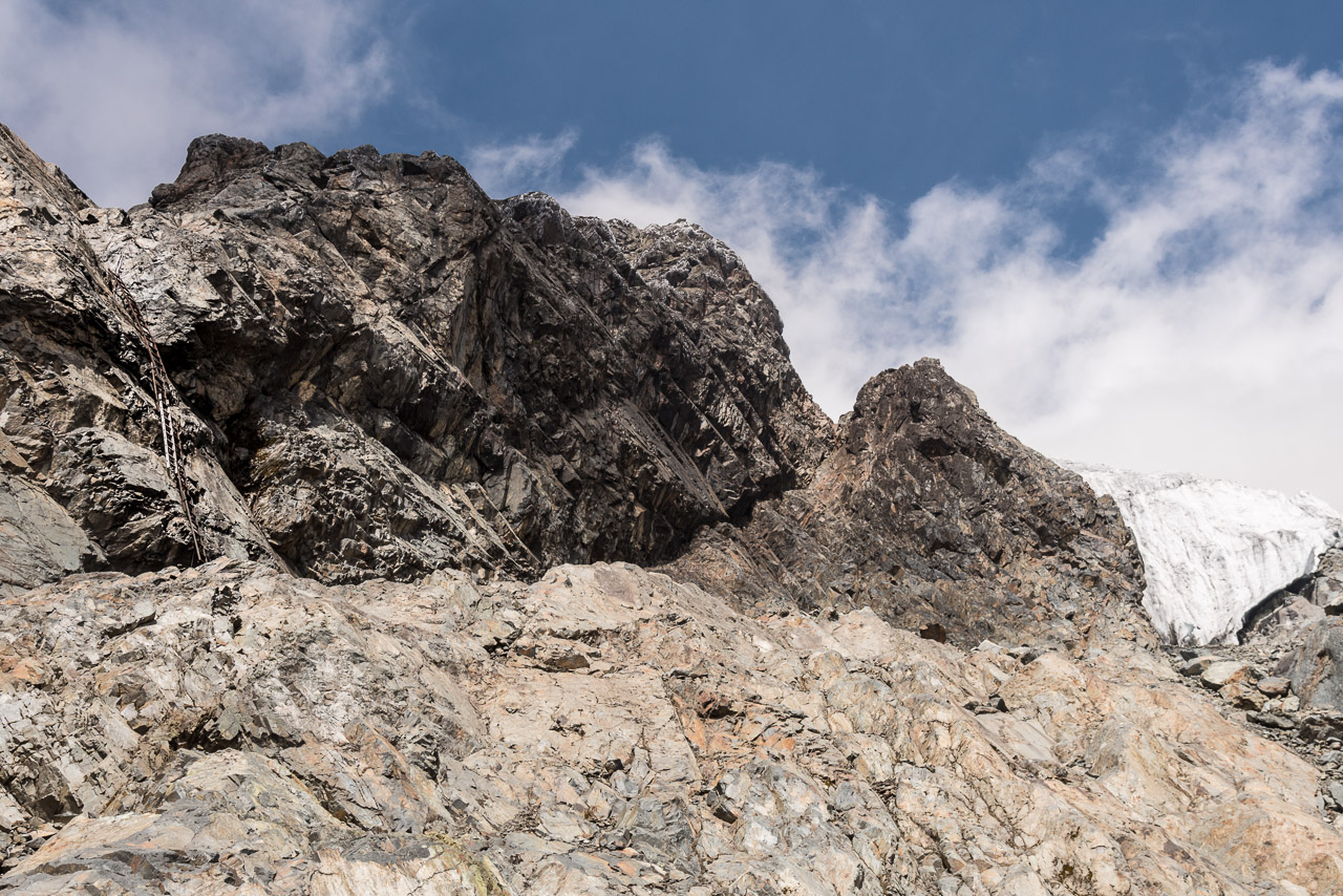
This series of ladders was used to climb down to the Margherita glacier until two years ago. Today, the retreating glacier is 200 m further up and another route is used to ascend Margherita peak.
I wished I could turn around and climb back to enjoy the view from Margherita peak in the sunshine
The last view before Mt Stanley got covered in mist again
The camp on the foot of Mt Speke. I stayed in a tent as no hut has been build there yet. The guides and porters slept next to the fire below the rocks.
Day 6
We had breakfast at 4 am and left the camp at 4.30 am. My backpack was rather light today, I had only my DSLR, tripod, two prime lenses, the drone, water and snacks 😉
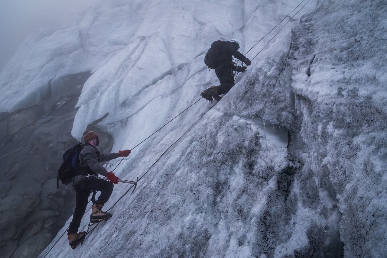
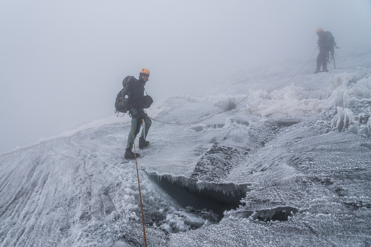
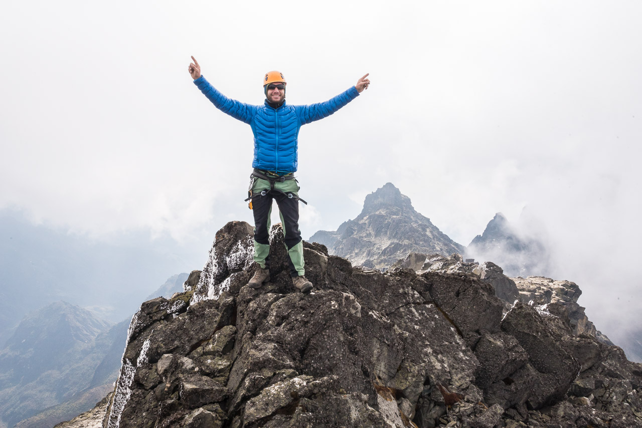
Due to the thick mist, I could not see far. The trail was unmarked and often invisible, but Joshua and Jack knew the way by heart. When it was still dark, we crossed the rather flat East Stanley Glacier. Visibility was very bad and we ended up in a dead end of crevasses. We turned around and just 100m further down, Jack found the right place where we could take off the crampons and continue over rocky terrain with some difficult passages. Fortunately, the rock was mostly dry and I did not need any rope. I assume that that with a layer of fresh snow, it’s a different story. At dawn, when the mist turned from black to grey, we arrived at the tongue of Margherita glacier. A group of five clients with three guides from the other company were about to climb the very steep part of the glacier. Jack was in his element. He literally run up 50 m to install a fixed rope for me. With a fixed rope, the ascend was pretty easy even though it was 60-70° steep and the ice was quite hard. For the next pitch, I asked Jack and Joshua to use the rope for protection only. It was considerably harder to go up on crampons and with the ice axe, as I had no experience with steep icy slopes. The glacier ended below Margherita peak and we took off the crampons as the final ascend was not covered by snow. The first pictures of Margherita peak from 1906 show it snow capped with huge cornices. However, climate change has taken its toll also on the Rwenzori mountains. We waited on the peak for the clouds to dissappear, but had to return after one hour, before we froze. Finally, when we reached the lower end of Margherita glacier again, the thick cloud layer lifted a bit allowing us to see the many peaks of Mt Stanley. A series of connected ladders hang on the rock a couple of hundred meters below where the tongue of Margherita glacier is today. It’s an unmistakable sign of the climate change that shows how quickly the glacier retreats. Years ago, the glacier was as high as the top of the ladders and climbers accessed Margherita glacier here. When the glacier began to melt down a ladder was fixed to use the same path. Each year, another ladder was added to compensate the shrinking of the glacier until the glacier retreated far from the path and another way had to be found.
After a short break at the Margherita camp, we continued to a rock shelter on the foot of Mt Speke where the porters already pitched a tent for me. I feel asleep soon and the altitude of 4100 m didn’t bother me anymore.
Day 7
After a filling breakfast with Rolex we began the hike to Mt Speke. The morning was clear and I enjoyed the view of Mt Stanley that seemed to be so close. We did not have to cross any glacier on the way to the top. Climate change has melted almost all glaciers of Mt Speke. I felt better being secured with a rope only with one passage and this was due to the fact that I climbed with my backpack. Needless to say, Joshua and Jack had no difficulties with their magic mountaineering rubber boots 😉 I guess they could climb in rubber boots up to the fifth UIAA grade. When we reached the peak on 4890 m, the weather had changed to cloudy leaving us only a few minutes with good visibility. During the lunch break on the peak, I couldn’t resist to fly the drone despite the strong wind. I couldn’t fly far as clouds covered the peak again and I had to return. But the drone proved to be usable at 4900 m in strong turbulent wind. I was impressed. A long hike via Scott Elliot pass brought us back to the camp where we stayed three days before. My feet felt a bit soar and my thoughts circled around a warm shower puttygen ssh , fruit and a good coffee.
The ascend on Mt Speke offered nice views of Mt Stanley

Previous mountaneering experience is an asset for climbing Mt Speke
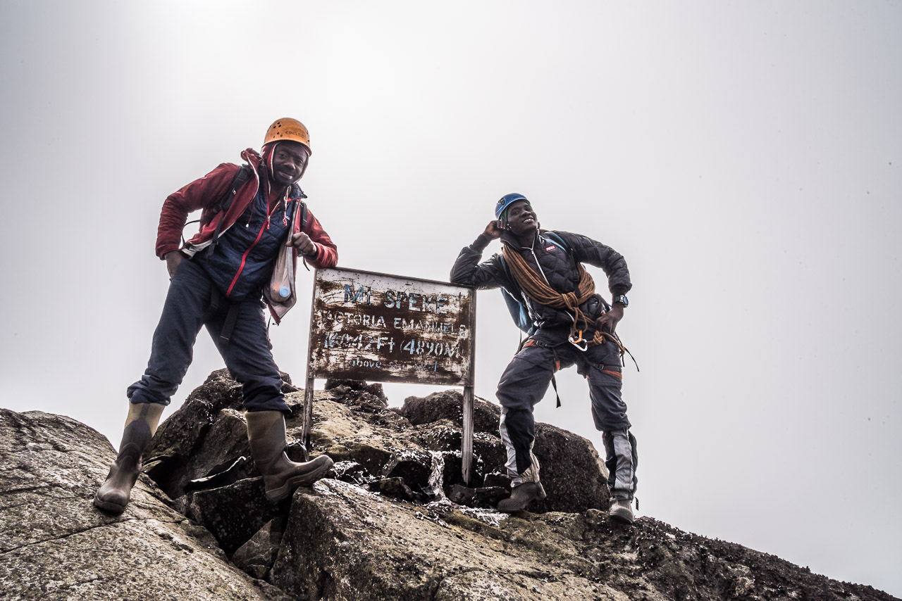
Joshua and Jack relaxing on the peak of Mt Speke
Unfortunately Find phone , this day was rather cloudy…
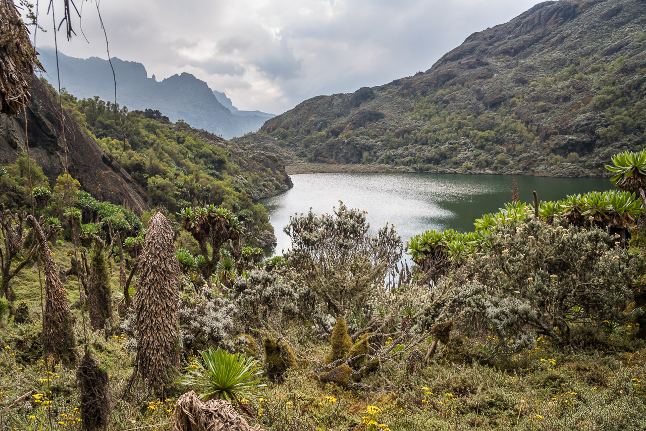
Nice view on the Kitendara lakes on our way back
A small lake near Oliver’s pass
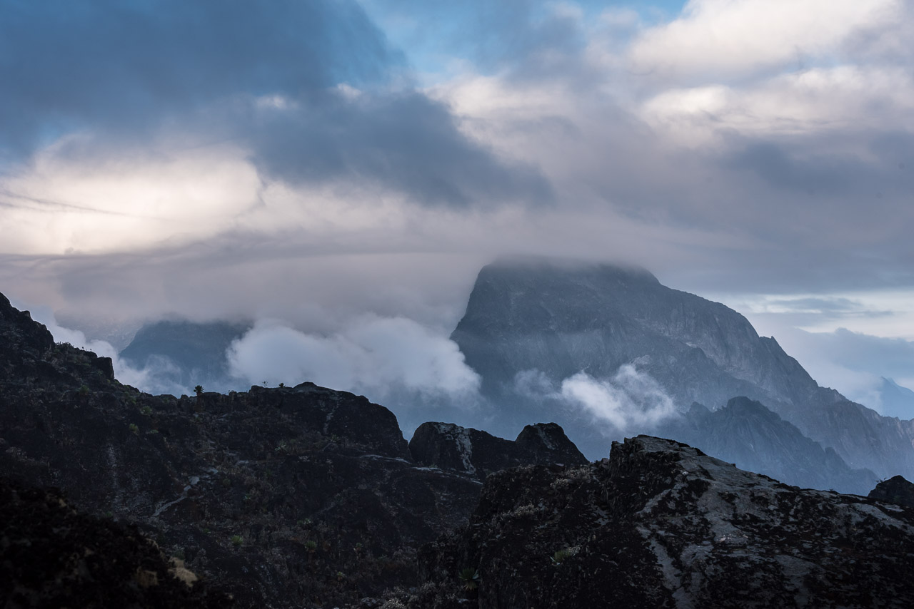
On the way back Weismann’s peak (4620m) offered the last view of Mt Stanley and Mt Baker
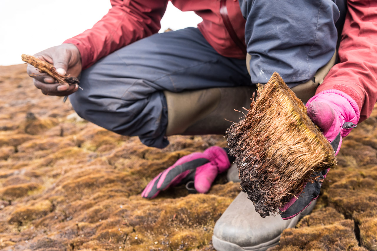
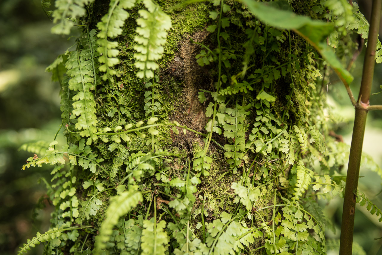
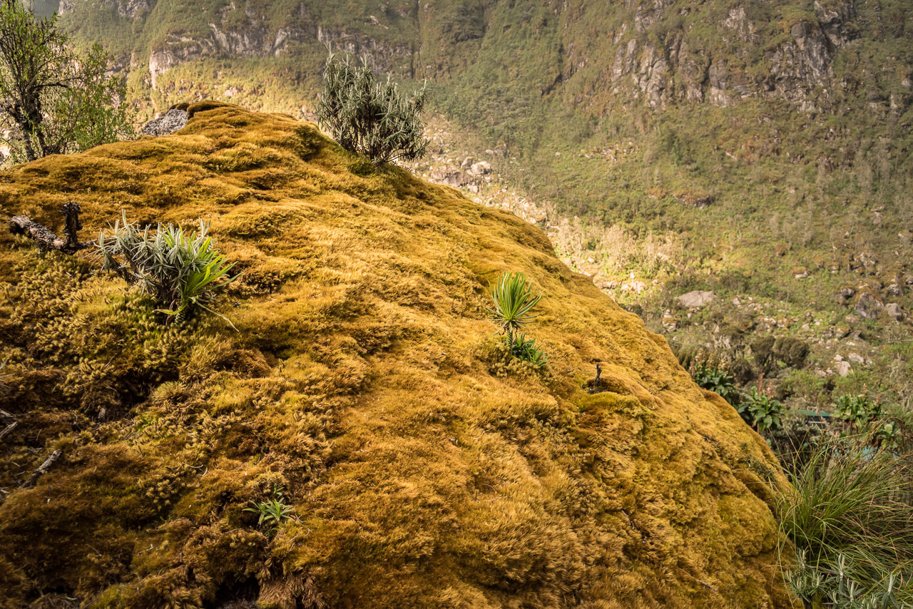
Possibly the thickest moss in the world 😉
What will you see in the next picture? Take a guess!
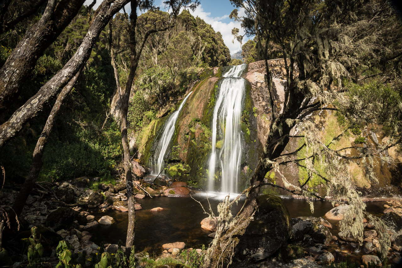
Another waterfall 🙂
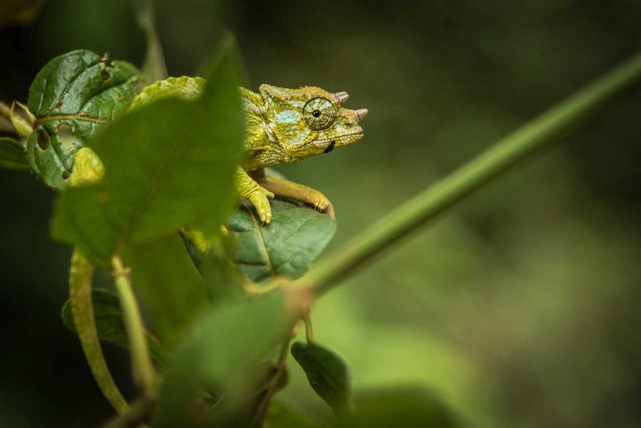
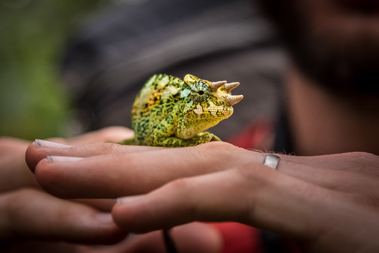
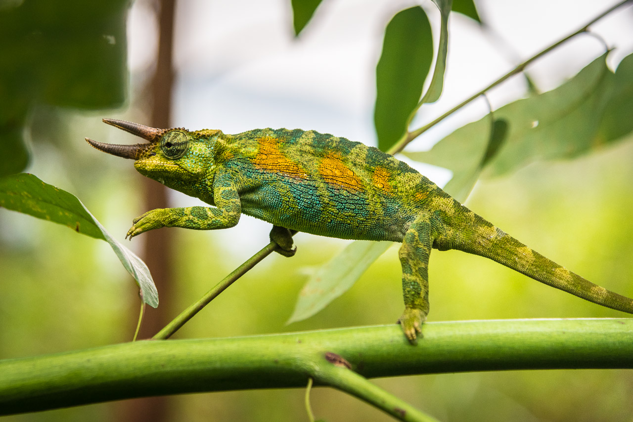
Jack found a three-horned chameleon in the lower parts of the rain forest
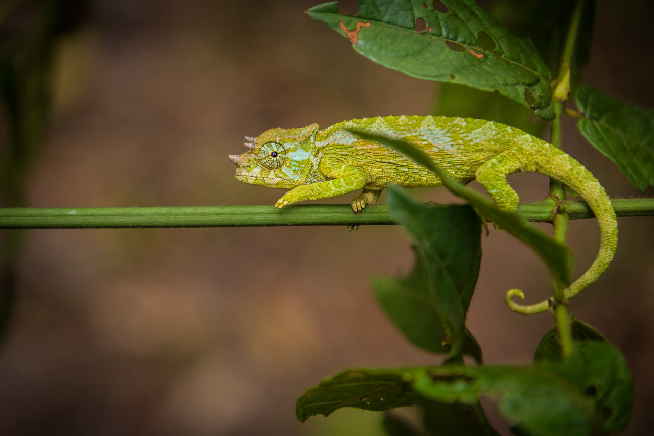
Only males have three horns that gave the species its name
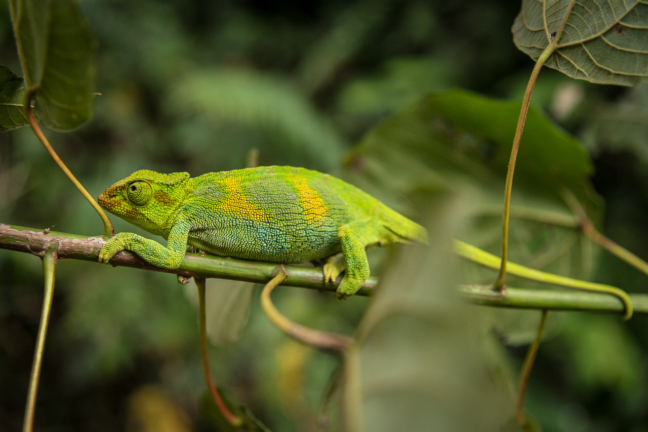
Jack found also a female chameleon
The slow-motion movement of the chameleons is as fascinating as the ability to change their colour
Day 8 and 9
From the camp on 3974 m we hiked up to the Oliver’s pass and from there to the nearby Weismann’s peak (4620 m) on Mt Luigi di Savoia which doesn’t look spectacular, but offers a nice view on Mt Stanley and Mt Baker. Fresh and motivated, I asked Jack and Joshua to climb the next peak on Mt Luigi di Savoia which is a little lower and has no name, but is more exposed and offers better views. The hike to the last camp followed a different trail and wasn’t boring at all, but strenuous due to many slippery roots and branches. Although such trails are usually my cup of tea, for the last hour, I wished for something easier. In the camp, I met an Australian couple who did a 5-day loop to Weismann’s peak and it was nice to exchange some experiences with them during dinner.
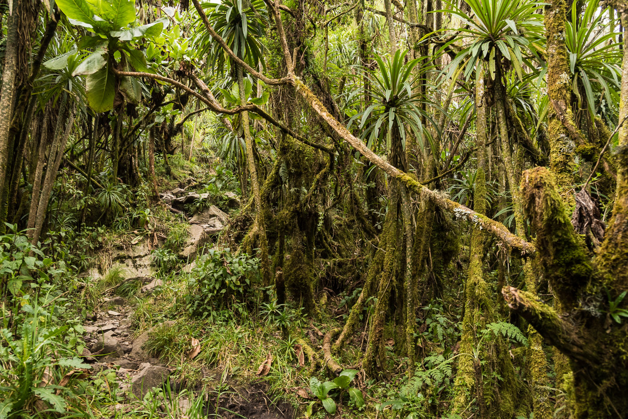
The way back to the trailhead on the last day was not difficult, but quite long with a descend of 2200 m. We crossed the five vegetation zones and ended up in a beautiful primary rain forest. Jack showed me a few three-horned chameleons that I couldn’t see before he pointed his finger at them.
When we returned to the trailhead in Kilembe village, I was happy to be back in civilisation with all its comforts. But at the same time, I wished I could spend more time in the Rwenzori mountains with their unique nature and beautiful views from the top if you’re lucky and catch a sunny day.
Majid
27. April 2018Very nice and gorgeous
Steffen Markert
22. April 2018Pretty brave to do such an expedition. Too bad the weather was not optimal. One would not associate such Alpine pictures with Africa.